
Near Ogallala in Keith County, Nebraska — The American Midwest (Upper Plains)
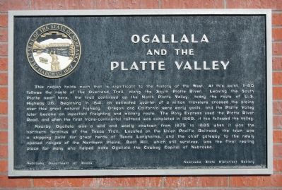
Ogallala and the Platte Valley
Photographed by Barry Swackhamer, November 25, 2012
1. Ogallala and the Platte Valley Marker
Nearby Ogallala was a wild and woolly cowtown from 1875 to 1885 when it was the northern terminus of the Texas Trail. Located on the Union Pacific Railroad, the town was a shipping point for great herds of Texas Longhorns, and the chief gateway to the newly opened ranges of the Northern Plains. Boot Hill, which still survives, was the final resting place for many who helped make Ogallala the Cowboy Capital of Nebraska.
Erected by Nebraska Department of Roads/Nebraska State
this page online
Topics and series. This historical marker is listed in this topic list: Roads & Vehicles. In addition, it is included in the Nebraska State Historical Society series list. A significant historical year for this entry is 1841.
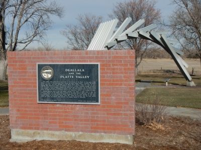
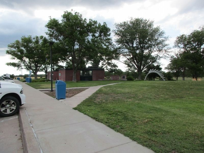
Location. 41° 7.211′ N, 101° 36.228′ W. Marker is near Ogallala, Nebraska, in Keith County. It can be reached from Interstate 80, on the right when traveling west. This marker is located at the Roscoe Rest Area on the north side of Interstate 80. Touch for map. Marker is in this post office area: Ogallala NE 69153, United States of America. Touch for directions.

Regionally, this marker is in Central Nebraska. It is also in the American Midwest, in the Corn Belt, on the prairies, on the Great Plains, and specifically on the High Plains. Globally, it is in North America, the Western Hemisphere, the Western World, and the Anglosphere. Historically, it finds itself in what was once the Louisiana Purchase.
Other nearby markers. At least 8 other markers are within 6 miles of this marker, measured as the crow flies: Court House Rock, Chimney Rock and Scott’s Bluffs (here,
Photographed by Barry Swackhamer, November 25, 2012
2. Ogallala and the Platte Valley Marker
Photographed by Jeff Leichsenring, June 29, 2023
3. Ogallala and the Platte Valley Marker
Credits. This page was last revised on July 10, 2023. It was originally submitted on December 18, 2012, by Barry Swackhamer of Brentwood, California. This page has been viewed 968 times since then and 24 times this year. Photos: 1, 2. submitted on December 18, 2012, by Barry Swackhamer of Brentwood, California. 3. submitted on July 9, 2023, by Jeff Leichsenring of Garland, Texas. • Bill Pfingsten was the editor who published this page.
