Near Bellefontaine in Logan County, Ohio — The American Midwest (Great Lakes)
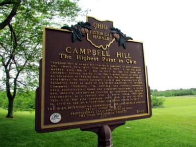
Campbell Hill
The Highest Point in Ohio
Erected 2001 by The Ohio Bicentennial Commission, the Longaberger Company, Treaty Lands Chapter - Professional Land Surveyors of Ohio, and the Ohio Historical Society. (Marker Number 6-46.)
Topics and series. This historical marker is listed in these topic lists: Landmarks • War, Cold. In addition, it is included in the Ohio Historical Society / The Ohio History Connection series list. A significant historical year for this entry is 1896.
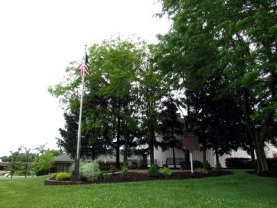
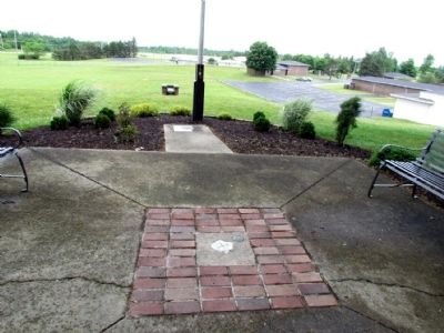
Location. 40° 22.219′ N, 83° 43.21′ W. Marker is near Bellefontaine , Ohio, in Logan County. Marker can be reached from East Sandusky Avenue (Ohio Route 540) 0.7 miles east of U.S. 33. Marker is located in the Ohio Hi-Point Career Center and is generally accessible only during school hours. After turning off Ohio 540, drive straight on the main driveway and then keep to the right where you drive up a hill to the maintenance facility of the center. A sidewalk at the end of the driveway leads to the marker and Ohio's highest point. Touch for map. Marker is at or near this postal address: 2280 Ohio 540, Bellefontaine OH 43311, United States of America. Touch for directions.
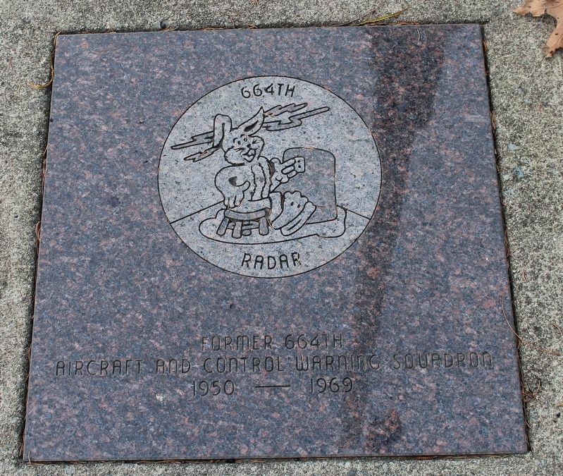
Other nearby markers. At least 8 other markers are within 2 miles of this marker, measured as the crow flies. Dr. Earl S. Sloan (here, next to this marker); Remembrance 1951- 1969 (within shouting distance of this marker); Ohio Hi Point Career Center (about 600 feet away, measured in a direct line); Bellefontaine (approx. 0.8 miles away); Bellefontaine War Memorial (approx. 1.4 miles away); Myeerah Trail / Historic Logan County (approx. 1˝ miles away); Bellefontaine Vietnam Memorial (approx. 1˝ miles away); The Harley Long Building (approx. 1.7 miles away). Touch for a list and map of all markers in Bellefontaine.
Credits. This page was last revised on December 13, 2022. It was originally submitted on December 20, 2012, by Duane Hall of Abilene, Texas. This page has been viewed 1,203 times since then and 86 times this year. Photos: 1, 2, 3. submitted on December 20, 2012, by Duane Hall of Abilene, Texas. 4. submitted on November 6, 2020, by Robert Baughman of Bellefontaine, Ohio. • Bill Pfingsten was the editor who published this page.


