Grand Portage in Cook County, Minnesota — The American Midwest (Upper Plains)
The Grand Portage
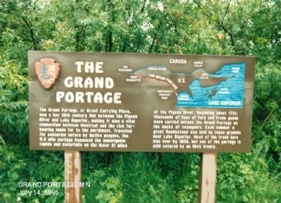
Photographed by Don Morfe, July 14, 1995
1. The Grand Portage Marker
Erected by National Park Service.
Topics. This historical marker is listed in these topic lists: Industry & Commerce • Waterways & Vessels. A significant historical year for this entry is 1731.
Location. 47° 57.768′ N, 89° 41.076′ W. Marker is in Grand Portage, Minnesota, in Cook County. It is at the intersection of Mile Creek Road (County Route 17) and Store Road (County Route 73), on the left when traveling south on Mile Creek Road. Touch for map.
this page online

Regionally, this marker is on the Boundary Waters Canoe Area Wilderness, in the Arrowhead Region, in the Iron Range, and in the North Shore. It is also in the American Midwest and in the Corn Belt. Globally, it is in North America, in the Great North Woods, on the Great Lakes, on Lake Superior’s North Shore, in the Western Hemisphere, in the Western World, and in the Anglosphere. Historically, it finds itself in what was once the Viceroyalty of New France, Rupert’s Land, the territory of the Mississippian Culture, and the Northwest Territory.
Other nearby markers. At least 8 other markers are within walking distance of this marker: Guard the Gate (within shouting distance of this marker); North West Company Fur Press (about 300 feet away, measured in a direct line); The North West Company (about 300 feet away); North West Company Depot (about 400 feet away); The Birchbark Canoe (about 400 feet away); Voyageurs at Grand Portage (about 400 feet away); A Warehouse for Furs, Trade Goods, and Now—Canoes
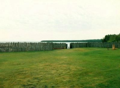
Photographed by Don Morfe, July 14, 1995
2. The Grand Portage Marker
Also see . . . Grand Portage National Monument. (Submitted on January 2, 2013.)
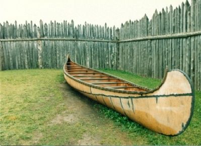
Photographed by Don Morfe, July 14, 1995
3. The Grand Portage Marker
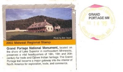
Photographed by Don Morfe, July 14, 1995
4. The Grand Portage Marker
Credits. This page was last revised on June 14, 2020. It was originally submitted on December 22, 2012, by Don Morfe of Baltimore, Maryland. This page has been viewed 884 times since then and 21 times this year. Photos: 1, 2, 3, 4. submitted on December 22, 2012, by Don Morfe of Baltimore, Maryland. • Bernard Fisher was the editor who published this page.
