Crater Lake in Klamath County, Oregon — The American West (Northwest)
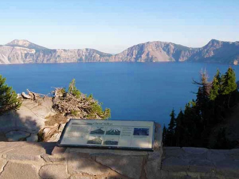
Glacial Valleys
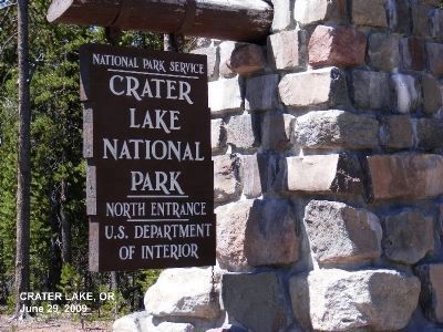
Crater Lake National Park
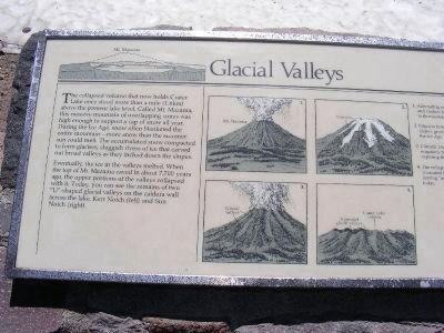
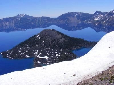
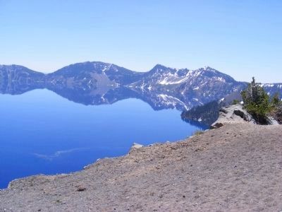
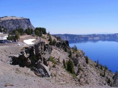
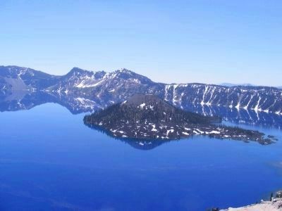
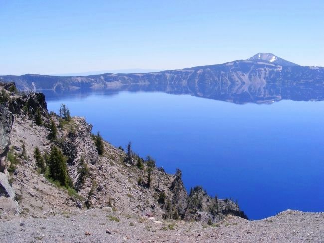
Eventually, the ice in the valleys melted. When the top of Mt. Mazama caved in about 7,700 years ago, the upper portions of the valleys collapsed with it. Today, you can see the remains of two “U” shaped glacial valleys on the caldera wall across the lake, Kerr Notch (left) an Sun Notch (right).
Graphic Illustrations:
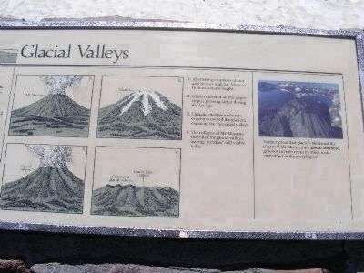
1. Alternating eruptions of lava and cinders built Mt. Mazama to its maximum height.
2. Glaziers formed on the upper slopes, growing larger during the Ice Age.
3. Climatic changes and more eruptions melted the glaciers, exposing the excavated valleys.
4. The collapse of Mt. Mazama truncated the glacial valleys, leaving “notches” still visible today.
Erected by National Park Service, U.S. Department of the Interior.
Topics. This historical marker is listed in these topic lists: Landmarks • Natural Features.
Location. 42° 54.696′ N, 122° 8.76′ W. Marker is in Crater Lake, Oregon, in Klamath County. Marker is on Rim Drive north of Oregon Route 62. Touch for map. Marker is in this post office area: Crater Lake OR 97604, United States of America. Touch for directions.
Other nearby markers. At least 6 other markers are within 9 miles of this marker, measured as the crow flies. Stephen Tyng Mather (approx. 0.2 miles away); Before the Collapse (approx. ¼ mile away); After the Collapse (approx. ¼ mile away); Whitebark Pines (approx. 5.2 miles away); Ancient Spirits (approx. 5½ miles away); Pumice Desert (approx. 8.1 miles away).
Regarding Glacial Valleys. Crater Lake has long attracted the wonder and admiration of people all over the world. Its depth of 1,943 feet (592 meters) makes it the deepest lake in the United States, and the seventh deepest in the world. Its fresh water is some of the clearest found anywhere in the world. The interaction of people with this place is traceable at least as far back as the eruption of Mount Mazama. Founded May 22, 1902, Crater Lake National Park seeks to preserve these natural and cultural resources.
National
Park Service
Photographed By Don Morfe, June 29, 2009
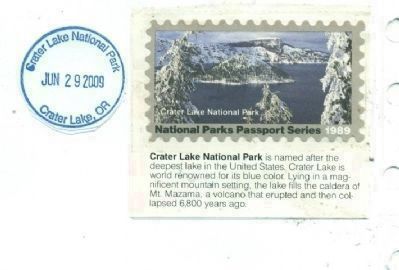
10. National Park Passbook Cancellation Stamp.
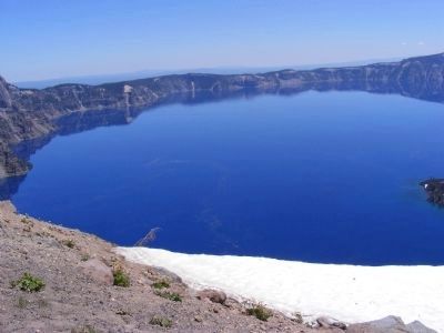
Crater Lake National Park is named after the deepest lake in the United States. Crater Lake is world renowned for its blue color. Lying in a magnificent mountain setting, the lake fills the caldera of Mt. Mazarna, a volcano that erupted and then collapsed 6,800 years ago.
Credits. This page was last revised on April 14, 2020. It was originally submitted on December 23, 2012, by Don Morfe of Baltimore, Maryland. This page has been viewed 523 times since then and 11 times this year. Photos: 1, 2, 3, 4, 5, 6, 7, 8, 9, 10, 11. submitted on December 23, 2012, by Don Morfe of Baltimore, Maryland. 12. submitted on April 14, 2020. • Syd Whittle was the editor who published this page.
Editor’s want-list for this marker. Photo showing a full view of the marker. • Wide area view of the marker and its surroundings. • Can you help?
