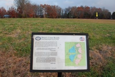
Near Baldwyn in Lee County, Mississippi — The American South (East South Central)
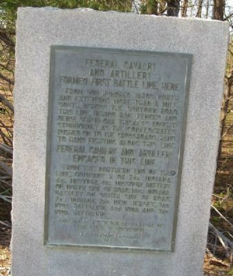
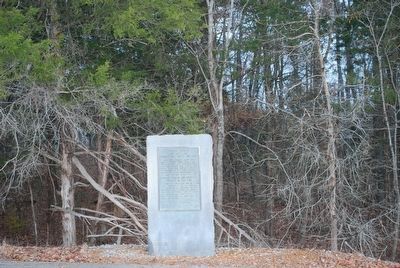
Federal Cavalry and Artillery Formed First Battle Line Here
Inscription.
From 500 hundred yards north and extending more than a mile south, across the Guntown Road, this Line, behind rail fences and dense scrub-oak thickets fought stubbornly as the Confederates pushed on to the Crossroads. Hand to hand fighting along this line.
Federal Cavalry and Artillery Engaged in this Line
From the northern end of the line: Company H of 7th Indiana; 4th Missouri; 4th Missouri Battery
On North Side of Road: 14th Indiana Battery
On South Side of Road: 7th Indiana; 2nd New Jersey; 3rd Iowa Battalion; 4th Iowa and 3rd Iowa Battalion.
Erected 1957 by State of Mississippi, J. P. Coleman, Governor.
Topics. This historical marker is listed in this topic list: War, US Civil.
Location. 34° 30.503′ N, 88° 43.319′ W. Marker is near Baldwyn, Mississippi, in Lee County. Marker is on Bethany Road (County Route 370) half a mile Guntown/Ripley Road (County Route 370), on the right when traveling west. This marker is designated Stop 3 of the Brice's Road Auto Tour. Touch for map. Marker is in this post office area: Baldwyn MS 38824, United States of America. Touch for directions.
Other nearby markers. At least 8 other markers are within walking distance of this marker. Treaty of Pontotoc (about 500 feet away, measured in a direct line); Tippah, Tishomingo, Pontotoc, Itawamba Intersection (about 500 feet away); Battle of Brice's Cross Roads, MS (about 500 feet away); Brice's Cross Roads (about 500 feet away); a different marker also named Brice's Cross Roads (about 500 feet away); Confederate's Second Battle Line (approx. 0.2 miles away); Confederate's First Battle Line Formed Here (approx. ¼ mile away); a different marker also named Brice's Cross Roads (approx. 0.3 miles away). Touch for a list and map of all markers in Baldwyn.
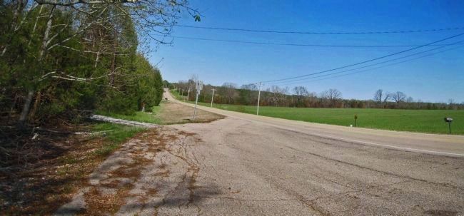
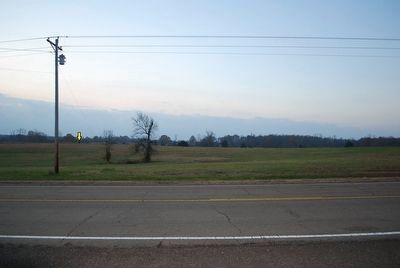
More about this marker. The open ground to the south is Porter's Field where opposing battle lines formed.
Additional keywords. Brices Crossroads, Tishomingo
Credits. This page was last revised on June 16, 2016. It was originally submitted on December 24, 2012, by David Graff of Halifax, Nova Scotia. This page has been viewed 681 times since then and 11 times this year. Photos: 1. submitted on December 24, 2012, by David Graff of Halifax, Nova Scotia. 2. submitted on September 26, 2015, by Brandon Fletcher of Chattanooga, Tennessee. 3. submitted on December 24, 2012, by David Graff of Halifax, Nova Scotia. 4, 5. submitted on September 26, 2015, by Brandon Fletcher of Chattanooga, Tennessee. • Craig Swain was the editor who published this page.
