
Near Worden in Yellowstone County, Montana — The American West (Mountains)
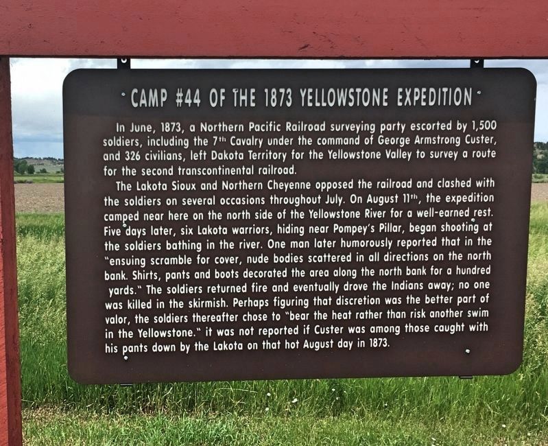
Camp #44 of the 1873 Yellowstone Expedition
Photographed by Connor Olson, June 11, 2018
1. Camp #44 of the 1873 Yellowstone Expedition Marker
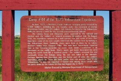
This marker replaced an older one.
The Lakota Sioux and Cheyenne were opposed to the railroad and clashed with the soldiers on several occasions throughout July. On August 11th, the expedition camped for a well earned rest just north of here. Five days later, some of the men sought relief from the summer heat by bathing in the Yellowstone River. Suddenly, shots were fired at them by six Lakota warriors hiding near Pompey's Pillar. One man later humorously reported that in the "ensuing scramble for cover, nude bodies (scattered) in all directions on the north bank for a hundred yards." The soldiers returned fire and eventually drove the Indians away. No one was killed in the skirmish. Perhaps figuring that discretion was the better part of valor, the soldiers thereafter chose to "bear the heat rather than risk another swim in the Yellowstone." It was not reported if Custer
this page online
Erected by Montana Department of Transportation.
Topics. This historical marker is listed in these topic lists: Railroads & Streetcars • Wars, US Indian. A significant historical month for this entry is June 1873.
Location. 45° 59.231′ N, 108° 0.296′ W. Marker is near Worden, Montana, in Yellowstone County. It is on Old Highway 312 0.3 miles east of Bundy Rd, on the left when traveling east. Marker is located near entrance road to Pompey's Pillar National Monument. Touch for map. Marker is in this post office area: Worden MT 59088, United States of America. Touch for directions.

Regionally, this marker is in Yellowstone Country and in Greater Billings. It is also in the American Mountain West and in the Lewis & Clark Corridor. Globally, it is in North America, the Western Hemisphere, the Western World, and the Anglosphere. Historically, it finds itself in what was once Rupert’s Land and also the Louisiana Purchase.
Other nearby markers. At least 8 other markers are within walking distance of this marker: Pompey's Pillar (here, next
Photographed by Duane Hall, August 2, 2010
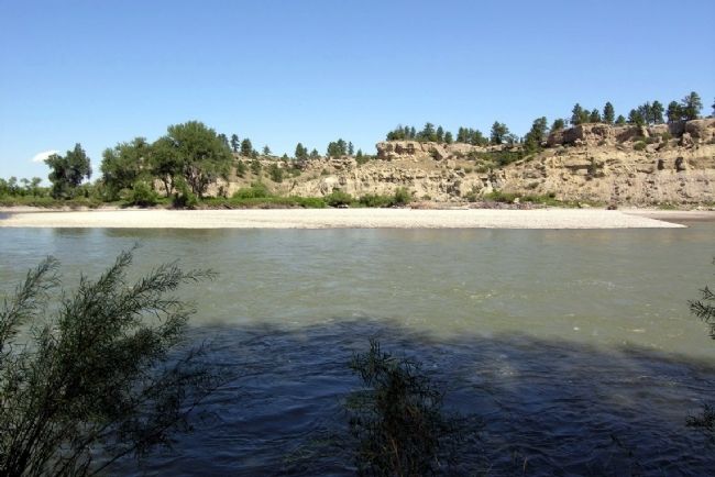
2. Yellowstone River near Pompey's Pillar
Another marker is no longer nearby. Pompey’s Pillar (was about 300 feet away, measured in a direct line but has been permanently removed).
Photographed by Connor Olson, June 11, 2018
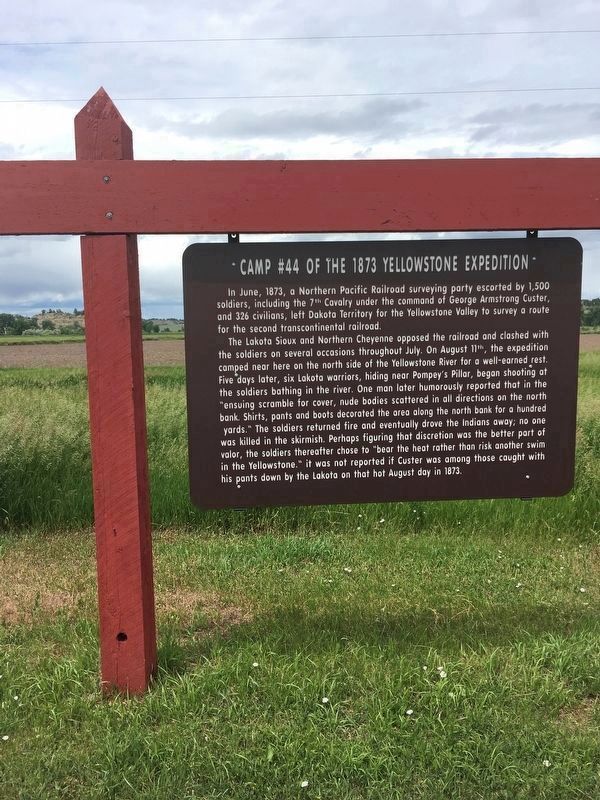
3. Camp #44 of the 1873 Yellowstone Expedition Marker
Photographed by Duane Hall, August 2, 2010
4. Former Camp #44 of the 1873 Yellowstone Expedition Marker
Credits. This page was last revised on July 22, 2020. It was originally submitted on December 26, 2012, by Duane Hall of Abilene, Texas. This page has been viewed 1,400 times since then and 110 times this year. Photos: 1. submitted on July 22, 2020, by Connor Olson of Menomonee Falls, Wisconsin. 2. submitted on December 26, 2012, by Duane Hall of Abilene, Texas. 3. submitted on July 20, 2020, by Connor Olson of Menomonee Falls, Wisconsin. 4. submitted on December 26, 2012, by Duane Hall of Abilene, Texas. • Bill Pfingsten was the editor who published this page.
