Near Chewalla in McNairy County, Tennessee — The American South (East South Central)
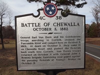
Battle Of Chewalla
October 3, 1862
Erected by Tennessee Historical Commission. (Marker Number 4C 38.)
Topics and series. This historical marker is listed in this topic list: War, US Civil. In addition, it is included in the Tennessee Historical Commission series list. A significant historical month for this entry is October 1841.
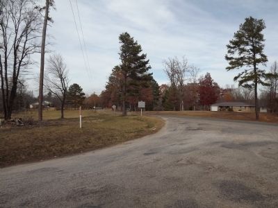
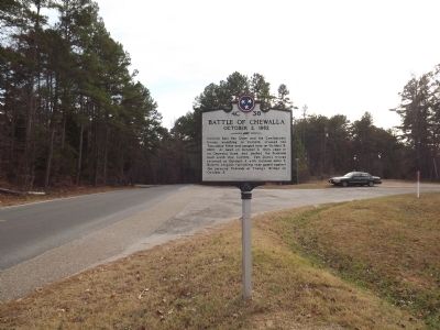
Location. 35° 0.231′ N, 88° 38.993′ W. Marker is near Chewalla, Tennessee, in McNairy County. Marker is at the intersection of Wenasoga Road (Tennessee Route 234) and Turner Road, on the right when traveling east on Wenasoga Road. Going South East on Highway 234, marker is on right just before Turner Road. Touch for map. Marker is at or near this postal address: 816 Wenasoga Rd, Ramer TN 38367, United States of America. Touch for directions.
Other nearby markers. At least 8 other markers are within 9 miles of this marker, measured as the crow flies. Battle of Tuscumbia (approx. 4.8 miles away); Veteran's Plaza (approx. 5.1 miles away); Battle of Corinth Battery F (approx. 6.7 miles away in Mississippi); Retreat From Battery F (approx. 6.7 miles away in Mississippi); Approach To Shiloh (approx. 7.4 miles away); Historic Tennessee-Mississippi State Line (approx. 7.7 miles away); The 12th of August Ambush (approx. 8.1 miles away); City Cemetery (approx. 8.1 miles away in Mississippi).
Credits. This page was last revised on September 1, 2020. It was originally submitted on December 26, 2012, by Ken Smith of Milan, Tennessee. This page has been viewed 1,109 times since then and 46 times this year. Photos: 1, 2, 3. submitted on December 26, 2012, by Ken Smith of Milan, Tennessee. • Craig Swain was the editor who published this page.


