Church Road in Dinwiddie County, Virginia — The American South (Mid-Atlantic)
Crawford's Sweep
Petersburg National Battlefield
— National Park Service, U.S. Department of the Interior —
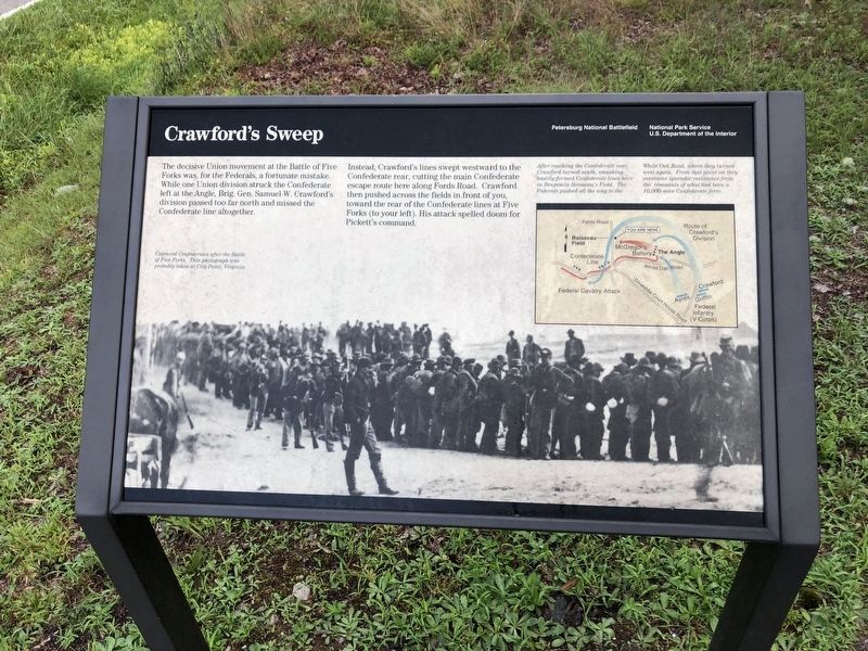
The decisive Union movement at the Battle of Five Forks was, for the Federals, a fortunate mistake. While one Union division struck the Confederate left at the Angle, Brig. Gen. Samuel W Crawford’s division passed too far north and missed the Confederate line altogether.
Instead, Crawford’s lines swept westward to the Confederate rear, cutting the main Confederate escape route here along Fords Road. Crawford then pushed across the fields in front of you, toward the rear of the Confederate lines at Five Forks (to your left). His attack spelled doom for Pickett’s command.
Erected by National Park Service, U.S. Department of the Interior.
Topics. This historical marker is listed in this topic list: War, US Civil.
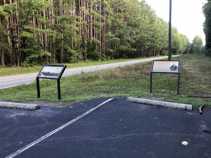
Location. 37° 8.827′ N, 77° 37.383′ W. Marker is in Church Road, Virginia, in Dinwiddie County. Marker is on Courthouse Road (Virginia Route 627) half a mile north of White Oak Road (Virginia Route 613), on the right when traveling north. The marker stands in the Five Forks Unit of the Petersburg National Battlefield. Touch for map. Marker is in this post office area: Church Road VA 23833, United States of America. Touch for directions.
Other nearby markers. At least 8 other markers are within walking distance of this marker. "Among my gallant officers…": (here, next to this marker); "Hold Five Forks at all hazards…" (approx. half a mile away); Death of Pegram (approx. half a mile away); The Battle of Five Forks (approx. half a mile away); Five Forks Battlefield (approx. half a mile away); a different marker also named Battle of Five Forks (approx. half a mile away); Attack on the Angle (approx. 0.8 miles away); "Advanced…repulsed…charged again…" (approx. 0.8 miles away). Touch for a list and map of all markers in Church Road.
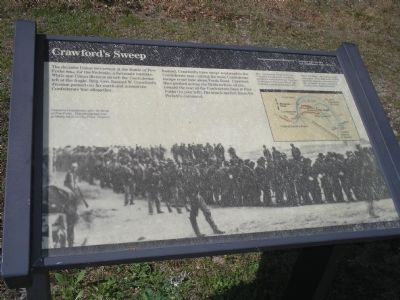
More about this marker. The background of the marker is a photograph with the caption Captured Confederates after the Battle of Five Forks. This photograph was probably taken at City Point, Virginia.
The marker also contains a battle map on the upper right, which shows the Confederate and Union positions during the battle. It is captioned, After reaching the Confederate rear, Crawford turned south, smashing hastily formed Confederate lines here in Benjamin Boisseau's Field. The Federals pushed all the way to the White Oak Road, where they turned west again. From that point on they overcame sporadic resistance from the remnants of what had been a 10,000-man
Confederate force.
Also see . . .
1. Battle of Five Forks. Encyclopedia Virginia website entry (Submitted on January 24, 2024, by Larry Gertner of New York, New York.)
2. Battle of Five Forks (Petersburg National Battlefield). National Park Service website entry (Submitted on January 24, 2024, by Larry Gertner of New York, New York.)
Credits. This page was last revised on January 24, 2024. It was originally submitted on March 15, 2008, by Bill Coughlin of Woodland Park, New Jersey. This page has been viewed 1,503 times since then and 26 times this year. Photos: 1. submitted on August 22, 2021, by Devry Becker Jones of Washington, District of Columbia. 2. submitted on March 15, 2008, by Bill Coughlin of Woodland Park, New Jersey. 3. submitted on August 22, 2021, by Devry Becker Jones of Washington, District of Columbia. 4. submitted on March 15, 2008, by Bill Coughlin of Woodland Park, New Jersey. • Craig Swain was the editor who published this page.


