Spring Hill in Maury County, Tennessee — The American South (East South Central)
Spring Hill, Tennessee ~ November 29, 1864
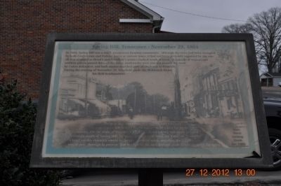
Photographed by Sandra Hughes, December 27, 2012
1. Spring Hill, Tennessee ~ November 29, 1864 Marker
The next day, hundreds of southern and northern wounded were left behind by the armies to be cared for by the community. On the night of December 17, 1864, Hood's Army was again camped overnight south of Spring Hill, following their retreat from the Battle of Nashville. A brief cavalry skirmish would be fought north of town, and then the Union army would pass through in pursuit. For the rest of the war, Federal units would garrison the town.
Topics. This historical marker is listed in this topic list: War, US Civil. A significant historical year for this entry is 1864.
Location. 35° 45.06′ N, 86° 55.832′ W.
this page online

Regionally, this marker is in Middle Tennessee and in Greater Nashville. It is also in the American South and specifically in the Upper South. Globally, it is in North America, the Western Hemisphere, the Western World, and the Anglosphere. Historically, it finds itself in what was once the territory of the Mississippian Culture, one of the Confederate States of America, and the Antebellum South.
Other nearby markers. At least 8 other markers are within walking distance of this marker: The Town of Spring Hill, Tennessee (here, next to this marker); Ewell Farm (a few steps from this marker); Ritter-Morton Cottage (about 400 feet away, measured in a direct line); Grace Episcopal Church (about 700 feet away); Spring Hill Presbyterian Church (approx. 0.2 miles away); Martin Cheairs Home (approx. 0.2 miles away); William Banks Caperton (approx.
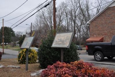
Photographed by Sandra Hughes, December 27, 2012
2. Spring Hill, Tennessee ~ November 29, 1864 Marker
Another marker is no longer nearby. Branham and Hughes Military Academy (was approx. ¼ mile away but has been confirmed missing).
Credits. This page was last revised on June 16, 2016. It was originally submitted on December 28, 2012, by Sandra Hughes Tidwell of Killen, Alabama, USA. This page has been viewed 944 times since then and 36 times this year. Photos: 1, 2. submitted on December 28, 2012, by Sandra Hughes Tidwell of Killen, Alabama, USA. • Craig Swain was the editor who published this page.
