New Bedford in Bristol County, Massachusetts — The American Northeast (New England)
Whaling Capital
New Bedford Whaling National Historic Park
| — | National Park Service, U.S. Department of the Interior | — |
Photographed by Don Morfe, September 30, 2010
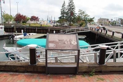
1. Whaling Capital Marker
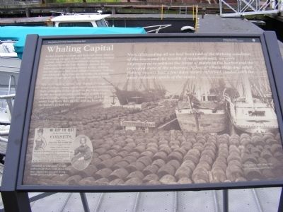
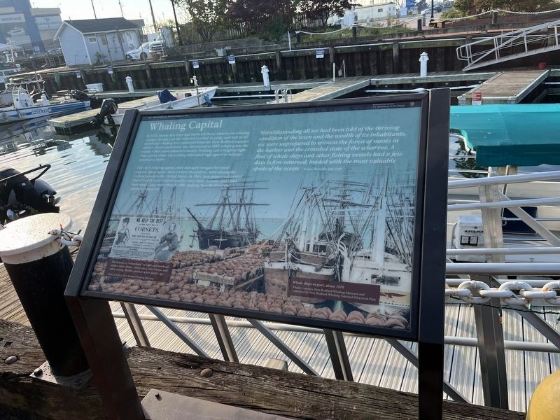
The city’s whaling agents, who managed voyages for vessel owners---many agents were owners themselves---were among the richest people in the United States. In 1861 newspapers calculated that if wealth were shared equally, every man, woman, and child here would have more than $1,000, making New Bedford the nation’s richest city.
The baleen or “whalebone” of right and bowhead whales made whips, corset stays, skirt hoops, and other strong, flexible goods in a pre-plastic age.
Notwithstanding all we had been told of the thriving conditions of the town and the wealth of its inhabitants, we were unprepared to witness the forest of masts in the harbor and the crowded state of the wharves.
this page online
Erected by National Park Service.
Topics. This historical marker is listed in these topic lists: Industry & Commerce • Waterways & Vessels. A significant historical year for this entry is 1857.
Location. 41° 38.142′ N, 70° 55.26′ W. Marker is in New Bedford, Massachusetts, in Bristol County. It is on MacArthur Drive-Pier 3. Touch for map. Marker is at or near this postal address: 52 Fishermans Wharf, New Bedford MA 02740, United States of America. Touch for directions.

Regionally, this marker is in the South Coast. It is also in the American Northeast, in New England, and on the Eastern Seaboard. Globally, it is in the North Atlantic Region, North America, the Western Hemisphere, the Western World, and the Anglosphere. Historically, it finds itself in what was once one of the original Thirteen Colonies.
Other nearby markers. At least 8 other markers are within walking distance of
Photographed by Don Morfe, September 30, 2010
2. Whaling Capital Marker
Photographed by Dale K. Benington, July 30, 2015
3. Whaling Capital Marker
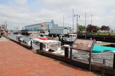
View of the marker looking east along the wharf.
Photographed by Dale K. Benington, July 30, 2015
4. Whaling Capital Marker
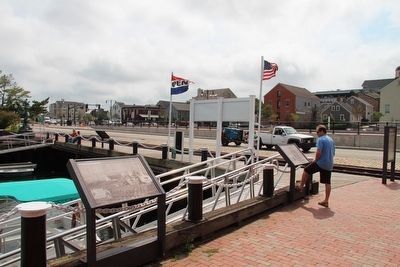
View of the marker looking west along MacArthur Drive.
Photographed by Dale K. Benington, July 30, 2015
5. Whaling Capital Marker
View of the marker looking south.
Photographed by Adam Margolis, September 15, 2025
6. Whaling Capital Marker
Photographed by Adam Margolis, September 15, 2025
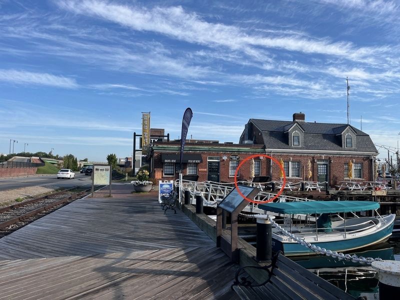
7. Whaling Capital Marker
Credits. This page was last revised on November 22, 2025. It was originally submitted on January 6, 2013, by Don Morfe of Baltimore, Maryland. This page has been viewed 737 times since then and 31 times this year. Photos: 1, 2. submitted on January 6, 2013, by Don Morfe of Baltimore, Maryland. 3, 4, 5. submitted on August 5, 2015, by Dale K. Benington of Toledo, Ohio. 6, 7. submitted on November 20, 2025, by Adam Margolis of Mission Viejo, California. • Bill Pfingsten was the editor who published this page.
