Knoxville in Knox County, Tennessee — The American South (East South Central)
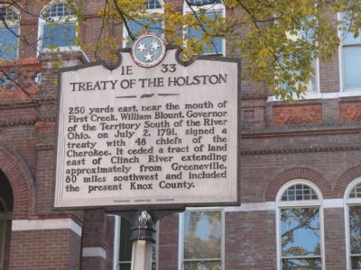
Treaty of the Holston
Erected by Tennessee Historical Commission. (Marker Number 1E-33.)
Topics and series. This historical marker is listed in this topic list: Notable Events. In addition, it is included in the Tennessee Historical Commission series list. A significant historical month for this entry is July 1801.
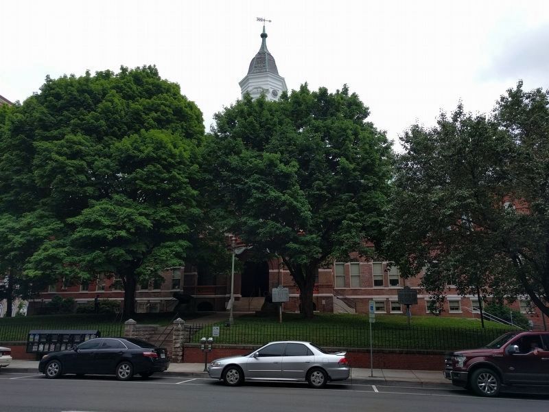
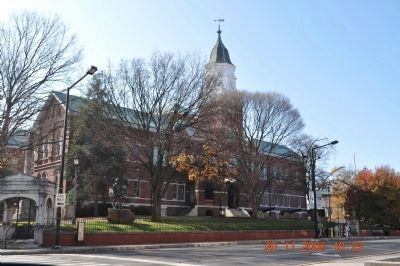
Location. 35° 57.685′ N, 83° 55.008′ W. Marker is in Knoxville, Tennessee, in Knox County. Marker is on West Main Street west of South Gay Street. It is in the yard of the Criminal Court Building. Touch for map. Marker is at or near this postal address: 300 W Main St, Knoxville TN 37902, United States of America. Touch for directions.
Other nearby markers. At least 8 other markers are within walking distance of this marker. Knox County World War II Memorial (here, next to this marker); Old Knox County Courthouse (here, next to this marker); Knoxville: A Divided City (a few steps from this marker); Knox County Spanish American War Monument (within shouting distance of this marker); Captain Charles T. McMillan II (within shouting distance of this marker); Katherine Sherrill Sevier (within shouting distance of this marker); Governor John Sevier (within shouting distance of this marker); Site of First Block House (within shouting distance of this marker). Touch for a list and map of all markers in Knoxville.
Regarding Treaty of the Holston. This treaty mentions the following:
-Establishment of perpetual peace and friendship between the two nations.
-Cherokees acknowledge protection of United States.
-Prisoners of war to be restored.
-Boundaries established between the Cherokee Nation and the United States.
-Stipulation of a road by the United States.
-United States to regulate trade.
-Guarantees by the United States that the lands of the Cherokee Nation have not been ceded to the United States.
-No U.S. citizens may settle within the Cherokee Nation.
-No U.S. citizens may hunt within the Cherokee Nation.
-Cherokees must deliver up criminals to the United States.
-U.S. citizens committing crimes within the Cherokee Nation are to be punished.
-Retaliation restrained by both nations.
-Cherokees to give notice
of pending attacks by other tribes against the United States.
-United States to make presents to the Cherokees for the promotion of having the Cherokees take up an agrarian culture.
-Both nations to cease any animosities held against each other.
An addendum to treaty was signed by Henry Knox, Secretary of War, representing the United States and representatives of the Cherokee Nation on February 17, 1792, and proclaimed on the same day, which increased the annuities paid by the United States to the Cherokee Nation. —information from Wikipedia.com
Credits. This page was last revised on February 16, 2021. It was originally submitted on November 28, 2007, by Laura Troy of Burke, Virginia. This page has been viewed 5,931 times since then and 105 times this year. Last updated on January 10, 2013, by Byron Hooks of Sandy Springs, Georgia. Photos: 1. submitted on November 28, 2007, by Laura Troy of Burke, Virginia. 2. submitted on June 14, 2018, by Joel Seewald of Madison Heights, Michigan. 3. submitted on April 6, 2010, by Sandra Hughes Tidwell of Killen, Alabama, USA. • Bill Pfingsten was the editor who published this page.


