Boyce in Clarke County, Virginia — The American South (Mid-Atlantic)
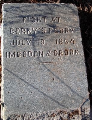
Fight at Berry's Ferry
Berry's Ferry
July 19, 1864
Imboden & Crook
——
Erected by J.E.B. Stuart Camp of the Confederate Veterans.
Topics and series. This historical marker is listed in this topic list: War, US Civil. In addition, it is included in the Sons of Confederate Veterans/United Confederate Veterans series list. A significant historical month for this entry is July 1966.
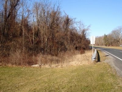
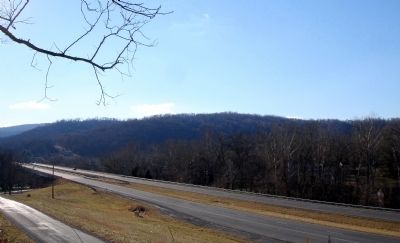
Location. 39° 2.728′ N, 78° 0.304′ W. Marker is in Boyce, Virginia, in Clarke County. Marker can be reached from John Mosby Highway (U.S. 50), on the right when traveling east. Touch for map. Marker is in this post office area: Boyce VA 22620, United States of America. Touch for directions.
Other nearby markers. At least 8 other markers are within 3 miles of this marker, measured as the crow flies. Vinyard Fight (approx. 0.6 miles away); Mt. Carmel Fight (approx. 1½ miles away); Greenway Historic District (approx. 2.2 miles away); Long Branch (approx. 2.3 miles away); The Burwell-Morgan Mill (approx. 2.4 miles away); Millwood (approx. 2½ miles away); Carter Hall (approx. 2½ miles away); Ashby’s Gap (approx. 2.9 miles away).
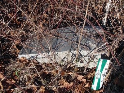
More about this marker. This is one in a series of granite markers placed by the J.E.B. Stuart Chapter of the Confederate Veterans sometime in the 1890s to commemorate significant Civil War actions around Clarke County.
Also see . . .
1. Clarke County Historical Association Proceedings, Vol. XV. (PDF) The introduction provides details about the placement of the marker and others in the series. The fight is detailed in pages 10-12. (Submitted on January 18, 2013.)
2. Civil War Engagements in Clarke County, Virginia. To the Sound of the Guns website entry (Submitted on January 18, 2013.)
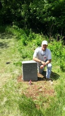
Photographed By Dave Clarke, 24 May 14
3. Fight at Berry's Ferry Marker
My son and I went out and reset this marker on behalf of Turner Ashby Camp #1567 of the Sons of Confederate Veterans and on behalf of my ggggrandfather, Pvt.Henry Hoover, Co. F, 62nd Virginia Mounted Infantry, who was a participant in this scuffle.
Credits. This page was last revised on August 11, 2022. It was originally submitted on January 18, 2013. This page has been viewed 1,648 times since then and 75 times this year. Photos: 1, 2. submitted on January 18, 2013. 3. submitted on May 29, 2014, by Dave Clarke of Berryville, Virginia. 4, 5. submitted on January 18, 2013. • Craig Swain was the editor who published this page.
