Wayne in Passaic County, New Jersey — The American Northeast (Mid-Atlantic)
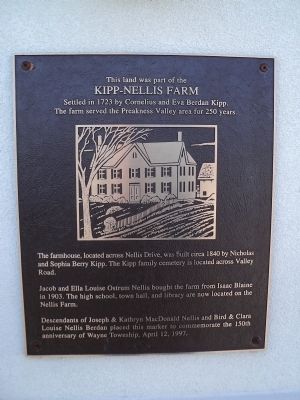
Kipp – Nellis Farm
Kipp – Nellis Farm
Settled in 1723 by Cornelius and Eva Berdan Kipp.
The farm served the Preakness Valley area for 250 years.
The farmhouse, located across Nellis Drive, was built circa 1840 by Nicholas and Sophia Berry Kipp. The Kipp family cemetery is located across Valley Road.
Jacob and Ella Louise Ostrum Nellis bought the farm from Isaac Blaine in 1903. The high school, town hall, and library are now located on the Nellis Farm.
Descendants of Joseph & Kathryn MacDonald Nellis and Bird & Clara Louise Nellis Berdan placed this marker to commemorate the 150th anniversary of Wayne Township, April 12, 1997.
Erected 1997.
Topics. This historical marker is listed in these topic lists: Colonial Era • Settlements & Settlers. A significant historical date for this entry is April 12, 1694.
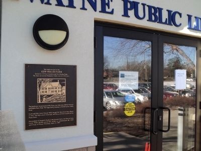
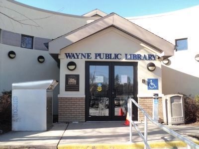
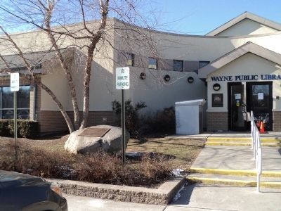
Location. 40° 55.702′ N, 74° 13.882′ W. Marker is in Wayne, New Jersey, in Passaic County. Marker is at the intersection of Valley Road and Nellis Drive, on the right when traveling south on Valley Road. Marker is located in front of the Wayne Public Library. Touch for map. Marker is at or near this postal address: 461 Valley Road, Wayne NJ 07470, United States of America. Touch for directions.
Other nearby markers. At least 8 other markers are within 2 miles of this marker, measured as the crow flies. Wayne Township (here, next to this marker); Samuel Van Saun House (approx. half a mile away); Van Saun House (approx. half a mile away); The Dey Mansion (approx. 0.9 miles away); Colonel Theunis Dey (approx. 0.9 miles away); Washington Headquarters (approx. 0.9 miles away); Vietnam Era Veterans Memorial (approx. 1.8 miles away); 9-11 Memorial (approx. 1.9 miles away). Touch for a list and map of all markers in Wayne.
More about this marker. A picture of the Kipp – Nellis Farmhouse appears on the marker.
Credits. This page was last revised on June 16, 2016. It was originally submitted on January 27, 2013, by Bill Coughlin of Woodland Park, New Jersey. This page has been viewed 596 times since then and 29 times this year. Photos: 1, 2, 3, 4. submitted on January 27, 2013, by Bill Coughlin of Woodland Park, New Jersey.


