Near Nancy in Pulaski County, Kentucky — The American South (East South Central)
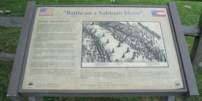
"Battle on a Sabbath Morn"
The Battle - 8:00 until 9:00 A.M.
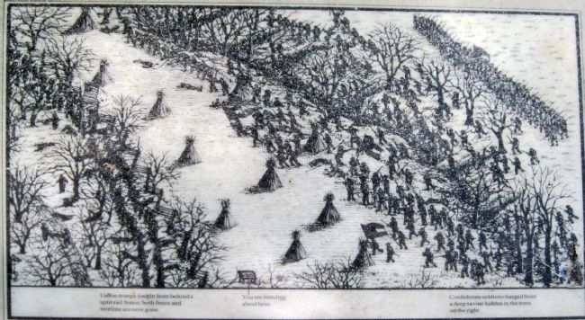
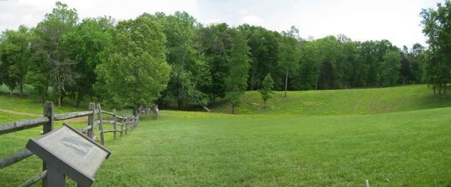
Charging from the ravine, the Confederates launched repeated attacks on the Union line only to be driven back after desperate hand to hand fighting. The battle line extended across the road to your left, but fighting there was less intense until the final charge of the 9th Ohio. This charge broke the Confederate line and caused the Southern forces to retreat from the field.
For most of the soldiers here, this was their first battle experience; they carried away vivid impressions that lasted a lifetime. Their eyewitness accounts help us visualize the battle and its aftermath.
"The reports of the muskets and rifles now commingled into one sound like the terrible roar of winds of a mighty storm, interrupted only by the louder sound of artillery." - Eastham Tarrant, 1st Kentucky Cavalry U.S.
"Our entire line, putting their guns through the cracks of the fence, fired into them with ball and buckshot, and the scene that followed defied description." - Lieutenant James Binford, 13th Mississippi Infantry
We were so close on them that one man had his beard and whiskers singed by the fire of one of the muskets; Another caught hold of one of their muskets and jerked it through the fence." - Horatio Van Cleve, Colonel 2nd Minnesota Infantry
The rain was falling in torrents and our flintlock muskets were in bad condition, not one in three would fire ... Mine went off once in the action, and although I wiped the pan and primed a dozen times it would do so no more." - James Cooper, 20th Tennessee Infantry
About the wounded ...
"The (Confederate) wounded left on the field exhibited various dispositions ... Some spoke pitifully, and were thankful for any kind word spoken or any favors shown them while others were more morose, stubborn and independent." - Eastham Tarrant, 1st Kentucky Cavalry U.S.
... and the dead
"There were delicate forms whose beardless faces showed tender years. Some had the horrible frowns of war still upon their features. others lay in calm repose as if they were dreaming of loved ones at home." - Eastham Tarrant, 1st Kentucky Cavalry U.S.
Erected 1997 by Mill Springs Battlefield Association.
Topics. This historical marker is listed in this topic list: War, US Civil. A significant historical date for this entry is January 19, 1759.
Location.
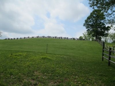
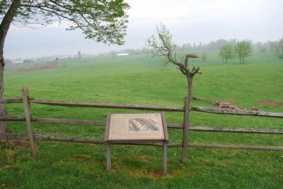
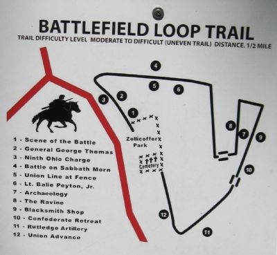
This marker has been replaced by another marker nearby. It was located near 37° 3.4′ N, 84° 44.392′ W. Marker was near Nancy, Kentucky, in Pulaski County. Marker could be reached from State Road 235, 0.1 miles south of State Route 761, on the left when traveling south. This is Station #4 on the Battlefield Loop Trail at Tour Stop 2 - Zollicoffer Park. Refer to trail map photo. Touch for map. Marker was in this post office area: Nancy KY 42544, United States of America. Touch for directions.
Other nearby markers. At least 8 other markers are within walking distance of this location. Fix Bayonets, Charge! (within shouting distance of this marker); The General Commanding (within shouting distance of this marker); Melee at the Fence (within shouting distance of this marker); a different marker also named Battle on a Sabbath Morn (within shouting distance of this marker); A Scene of Battle (within shouting distance of this marker); The Zollie Tree (about 400 feet away, measured in a direct line); Felix K. Zollicoffer / "Zollie Tree" (about 400 feet away); A Fatal Mistake (about 400 feet away). Touch for a list and map of all markers in Nancy.
More about this marker. This marker was replaced by a new one also named Battle on a Sabbath Morn (see nearby markers).
Credits. This page was last revised on August 2, 2019. It was originally submitted on February 4, 2013, by David Graff of Halifax, Nova Scotia. This page has been viewed 741 times since then and 27 times this year. Photos: 1, 2, 3, 4. submitted on February 4, 2013, by David Graff of Halifax, Nova Scotia. 5. submitted on September 16, 2015, by Brandon Fletcher of Chattanooga, Tennessee. 6. submitted on February 4, 2013, by David Graff of Halifax, Nova Scotia. • Craig Swain was the editor who published this page.
