Eden in Rockingham County, North Carolina — The American South (South Atlantic)
“Land of Eden”
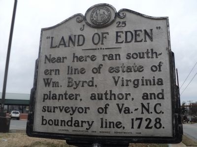
Photographed by Bill Coughlin, February 4, 2013
1. “Land of Eden” Marker
Erected 1948 by Archives, Conservation, and Highway Departments. (Marker Number J-25.)
Topics and series. This historical marker is listed in these topic lists: Colonial Era • Settlements & Settlers. In addition, it is included in the North Carolina Division of Archives and History series list. A significant historical year for this entry is 1728.
Location. 36° 29.508′ N, 79° 45.757′ W. Marker is in Eden, North Carolina, in Rockingham County. It is at the intersection of Boone Road (State Highway Old 770) and N Bridge Street, on the left when traveling north on Boone Road. Touch for map. Marker is in this post office area: Eden NC 27289, United States of America. Touch for directions.

Regionally, this marker is in the Piedmont. It is also in the American South and specifically in the Upper South. Globally, it is in North America, the Western Hemisphere, the Western World, and the Anglosphere. Historically, it finds itself in what was once the territory of the Mississippian Culture,
this page online
Other nearby markers. At least 8 other markers are within walking distance of this marker: “River boat Men: Dan River, 1792 – 1892” (approx. 0.2 miles away); Annie Eliza Johns (approx. ¼ mile away); Leaksville Landing (approx. 0.4 miles away); Dan River (approx. 0.4 miles away); Luther H. Hodges (approx. 0.4 miles away); World Wars I & II Memorial Drinking Fountain (approx. 0.6 miles away); a different marker also named “Land of Eden” (approx. 0.6 miles away); a different marker also named Land of Eden (approx. 0.6 miles away). Touch for a list and map of all markers in Eden.
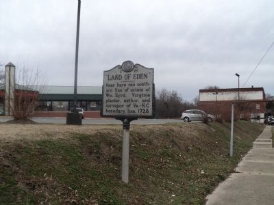
Photographed by Bill Coughlin, February 4, 2013
2. “Land of Eden” Marker
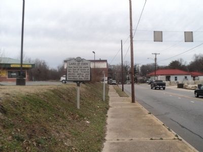
Photographed by Bill Coughlin, February 4, 2013
3. “Land of Eden” Marker
Credits. This page was last revised on March 17, 2024. It was originally submitted on February 5, 2013, by Bill Coughlin of Woodland Park, New Jersey. This page has been viewed 767 times since then and 35 times this year. Last updated on February 5, 2013. Photos: 1, 2, 3. submitted on February 5, 2013, by Bill Coughlin of Woodland Park, New Jersey.
