Andover in Sussex County, New Jersey — The American Northeast (Mid-Atlantic)
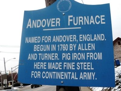
Andover Furnace
Begun in 1760 by Allen
and Turner. Pig iron from
here made fine steel
for Continental Army.
Erected by State of New Jersey.
Topics. This historical marker is listed in these topic lists: Colonial Era • Industry & Commerce • War, US Revolutionary. A significant historical year for this entry is 1760.
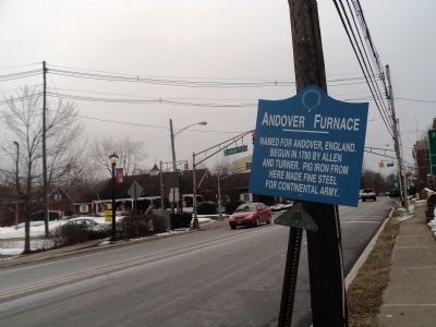
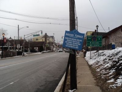
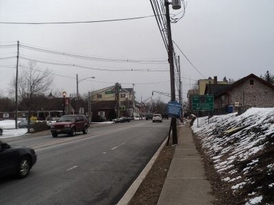
Location. 40° 59.242′ N, 74° 44.538′ W. Marker is in Andover, New Jersey, in Sussex County. Marker is on Main Street (U.S. 206) near Lenape Road (County Route 517), on the right when traveling south. Touch for map. Marker is in this post office area: Andover NJ 07821, United States of America. Touch for directions.
Other nearby markers. At least 8 other markers are within 4 miles of this marker, measured as the crow flies. The Iron Master’s Mansion (about 700 feet away, measured in a direct line); The Iron Works at Andover (about 700 feet away); The Lackawanna Cutoff (approx. 0.6 miles away); Thomas Woolverton's Tavern (approx. 1.8 miles away); Site Of Toll Gate (approx. 2˝ miles away); Cat Swamp Hijacking and Murder (approx. 3.2 miles away); U.S.S. Bunker Hill Memorial (approx. 3.6 miles away); Amity School (approx. 4 miles away).
Credits. This page was last revised on June 16, 2016. It was originally submitted on February 16, 2013, by Bill Coughlin of Woodland Park, New Jersey. This page has been viewed 720 times since then and 35 times this year. Photos: 1, 2, 3, 4. submitted on February 16, 2013, by Bill Coughlin of Woodland Park, New Jersey.


