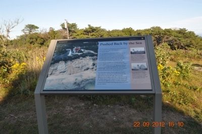
Pushed Back by the Sea
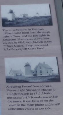
The first lighthouses built here in 1838 were placed over 600 feet east of where you are standing now. As ocean waves ate away at the base of the cliffs, causing erosion rates averaging three feet per year, the original beacons had to be replaced with three wooden towers set father back from the edge.
In less than two decades, the cliffs approached the wooden lighthouses, so one of the towers was pulled further back and attached to the lighthouse keeper's house. In 1923, a cast-iron lighthouse - the current Nauset Light - was brought to the site from Chatham and set well back from the advancing shoreline.
The main photo shows Nauset Light as it stood in 1996, when less than 40 feet remained between the light and the eroding cliff edge. That year, the lighthouse moved again, across the road to its current site. Today Nauset Light is preserved and interpreted by the Nauset Light Preservation Society, a group of committed local people who keep this important story alive for visitors.
Erected by Cape Cod National Seashore.
Topics and series. This historical marker is listed in these topic lists: Landmarks •
Location. 41° 51.584′ N, 69° 57.148′ W. Marker is in Orleans, Massachusetts, in Barnstable County. Marker is at the intersection of Cable Road and Nauset Light Beach Rd on Cable Road. Touch for map. Marker is in this post office area: Orleans MA 02653, United States of America. Touch for directions.
Other nearby markers. At least 8 other markers are within 2 miles of this marker, measured as the crow flies. The Long, Black Cable (a few steps from this marker); The Nauset Lights (within shouting distance of this marker); Nauset Beach Light Station (within shouting distance of this marker); Keeping the Light for 114 Years (about 300 feet away, measured in a direct line); Three Sisters Lit the Way (approx. ¼ mile away); Doane Rock (approx. 1.1 miles away); The Outermost House (approx. 1.2 miles away); Journey of the Mayflower (approx. 1.2 miles away). Touch for a list and map of all markers in Orleans.

Credits. This page was last revised on June 16, 2016. It was originally submitted on February 17, 2013, by Sandra Hughes Tidwell of Killen, Alabama, USA. This page has been viewed 599 times since then and 5 times this year. Photos: 1, 2. submitted on February 17, 2013, by Sandra Hughes Tidwell of Killen, Alabama, USA. • Bill Pfingsten was the editor who published this page.
