Near Palo City in Leyte, Eastern Visayas, Philippines — Southeast Asia
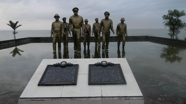
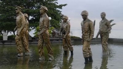
Leyte Landing/Paglunsad sa Leyte
Inscription.
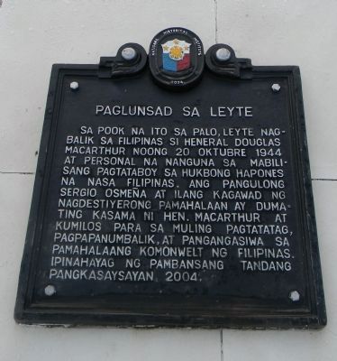
Panel 1 (Text in Filipino):
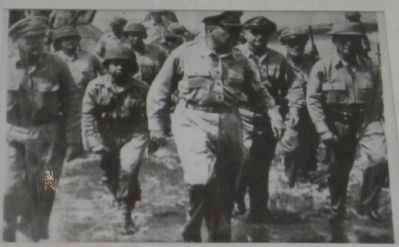
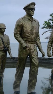
Sa pook na ito sa Palo, Leyte nagbalik sa Filipinas si Heneral Douglas MacArthur noong 20 Oktubre 1944 at personal na nanguna sa mabilisang pagtataboy sa hukbong Hapones na nasa Pilipinas. Ang Pangulong Sergio Osmeña at ilang kagawad ng nagdestiyerong pamahalaan ay dumating kasamg ni Hen. MacArthur at kumilos para sa muling pagtatatag, pagpapanumbalik, at pangangasiwa sa pamahalaang Komonwelt ng Filipinas. Ipinahayag ng pambansang tandang pangkasaysayan, 2004.
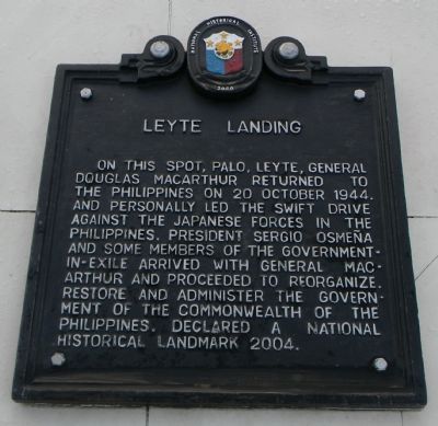
Panel 2 (Text in English):
On this spot, Palo, Leyte, General Douglas MacArthur returned to the Philippines on 20 October 1944 and personally led the swift drive against the Japanese forces in the Philippines. President Sergio Osmeña and some members of the government-in-exile arrived with General MacArthur and proceeded to organize, restore and administer the government of the Commonwealth of the Philippines. Declared a National Historical Landmark, 2004.
Erected 2004 by National Historical Institute, Republic of the Philippines.
Topics. This memorial is listed in these topic lists: Government & Politics • Military • War, World II • Waterways & Vessels. A significant historical date for this entry is October 20, 1944.
Location. 11° 10.331′ N, 125° 0.725′ E. Marker is near Palo City, Eastern Visayas, in Leyte. Memorial can be reached from Manlurip Road just east of Pan Philipinne Hwy (Route AH2), on the left when traveling south. The Memorial Park is on the coast, south of the Tacloban City Airport and northeast of Palo City via Manlurip Road. Touch for map. Touch for directions.
Also see . . .
1. Victory at Sea: Battle of Leyte Gulf. (Submitted on February 10, 2013, by Richard E. Miller of Oxon Hill, Maryland.)
2. Battle of Leyte - 20 October – 31 December 1944. (Submitted on February 10, 2013, by Richard E. Miller of Oxon Hill, Maryland.)
3. Commonwealth of the Philippines. (Submitted on February 10, 2013, by Richard E. Miller of Oxon Hill, Maryland.)
Additional keywords. "Red Beach"; Battle of Leyte G Leyte Landing/Paglunsad sa Leyte
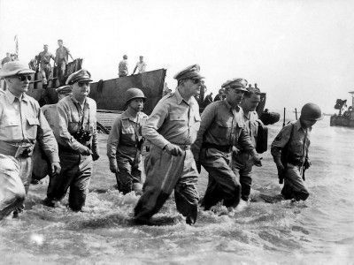
Photographed By U.S. Army, October 20, 1944
7. Leyte Landing/Paglunsad sa Leyte
Credits. This page was last revised on February 12, 2022. It was originally submitted on February 10, 2013, by Richard E. Miller of Oxon Hill, Maryland. This page has been viewed 2,601 times since then and 184 times this year. Last updated on March 3, 2013, by Richard E. Miller of Oxon Hill, Maryland. Photos: 1, 2, 3, 4, 5, 6, 7, 8, 9. submitted on February 10, 2013, by Richard E. Miller of Oxon Hill, Maryland. • Bill Pfingsten was the editor who published this page.
