Near Newell in Modoc County, California — The American West (Pacific Coastal)
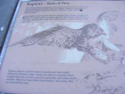
Raptors - Birds of Prey
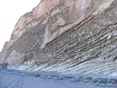
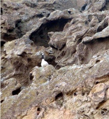
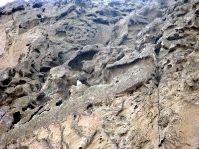
A favorable environment here is supporting a large number of raptors. In recent years, sixteen species have been identified in this area, among them the red-tailed hawk, prairie falcon and barn owl.
Raptors help to control rodent populations that might otherwise threaten crops. Some are able to consume their weight each day in mice, ground squirrels, and other small animals. Man has been their chief enemy, but today they are protected by law.
Erected by National Park Service.
Topics. This historical marker is listed in these topic lists: Animals • Environment • Native Americans.
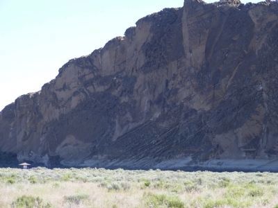
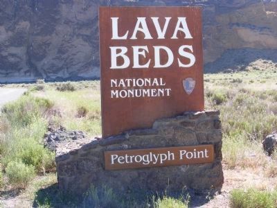
Location. 41° 50.65′ N, 121° 23.472′ W. Marker is near Newell, California, in Modoc County. Marker is on County Road 126 (County Route 126), on the left when traveling south. Marker is located within the boundaries of Lava Bed National Monument at the Petroglyph Point interpretive site. Touch for map. Marker is in this post office area: Tulelake CA 96134, United States of America. Touch for directions.
Other nearby markers. At least 8 other markers are within 5 miles of this marker, measured as the crow flies. Petroglyph Point (here, next to this marker); Warm Springs Indians (approx. 2.8 miles away); Captain Jack’s Stronghold (approx. 2.8 miles away); Canby’s Cross (approx. 2.8 miles away); Battle of Dry Lake Memorial (approx. 2.8 miles away); Tule Lake (approx. 3 miles away); Tule Lake Segregation Center (approx. 3.1 miles away); Burnett Cutoff - Muddy Waters (approx. 4.2 miles away). Touch for a list and map of all markers in Newell.
Credits. This page was last revised on June 26, 2020. It was originally submitted on February 10, 2013. This page has been viewed 676 times since then and 18 times this year. Last updated on June 25, 2020, by Douglass Halvorsen of Klamath Falls, Oregon. Photos: 1, 2, 3, 4, 5. submitted on February 10, 2013, by Don Morfe of Baltimore, Maryland. 6, 7. submitted on March 3, 2013. 8. submitted on February 10, 2013, by Don Morfe of Baltimore, Maryland. • J. Makali Bruton was the editor who published this page.
