Savannah in Chatham County, Georgia — The American South (South Atlantic)
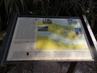
A Changing Landscape
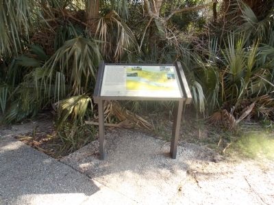
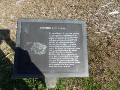
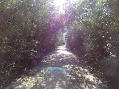
How old is this forest? Prior to the early 1800's Cockspur Island was primarily a grassy salt marsh interspersed with a few, small, forested hammocks. But things were about to change. In 1829 the army began installing drainage canals and a dike system to drain the marsh in order to support the massive weight of Fort Pulaski. In addition, the scattered, forested areas were cut to give a clear field of view of any approaching ships or other enemy forces. The army continued to prevent trees from growing on the island during the entire time that Fort Pulaski was occupied. After the military abandoned the fort in the late 1800's, the island once again underwent major changes. Thousands of tons of sand and silt, dredged up from the Savannah River to create a deeper shipping channel, were placed along the shore of Cockspur Island. Trees and brush began growing on this higher ground and the maritime forest that you see before you began to emerge. Several important and interesting historical structures are located along this 1/4-mile long nature trail.
Erected by National Park Service.
Topics. This historical marker is listed in this topic list: Agriculture. A significant historical year for this entry is 1829.
Location. Marker has been reported missing. It was located near 32° 1.71′ N, 80° 53.548′ W. Marker was in Savannah, Georgia, in Chatham County. Touch for map. Marker was in this post office area: Tybee Island GA 31328, United States of America. Touch for directions.
Other nearby markers. At least 8 other markers are within walking distance of this location. North Pier Trail (here, next to this marker); John Wesley (about 300 feet away, measured in a direct line); Cockspur Island Lighthouse (about 300 feet away); A Bustling Village (about 400 feet away); John Wesley Landing Site (about 400 feet away); The Waving Girl (about 400 feet away); Cisterns of the Construction Village (about 400 feet away); Final Resting Place (about 400 feet away).
Photographed By Stanley and Terrie Howard, March 9, 2013
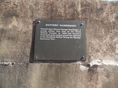
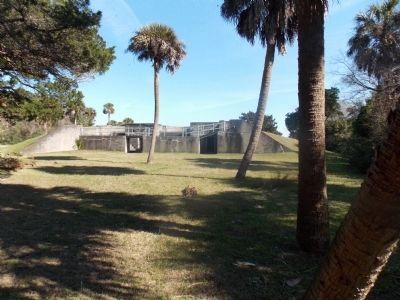
3. Battery Hambright
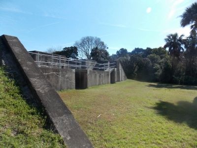
Cockspur Island saw one more military use after the War Between the States. During the Spanish American War, a small force was garrisoned here to protect the river mouth. They operated the controls for electric mines in the Savannah River, and manned guns in Fort Pulaski's demilune, and here, on the left, at Battery Hambright.
Photographed By Stanley and Terrie Howard, March 8, 2013
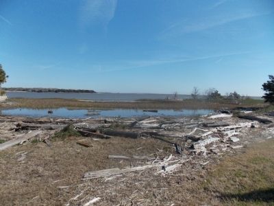
7. Historic Dike
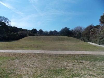
One of the first tasks the Army Corps of Engineers had to accomplish in order to build Fort Pulaski on the unstable marshlands of Cockspur Island was to construct an earthen dike to prevent flooding. The historic earthen dike is approximately two miles in circumference and twelve feet above sea level. It is still effective today in preventing high tides from submerging Cockspur Island.
Credits. This page was last revised on March 25, 2020. It was originally submitted on March 10, 2013, by Stanley and Terrie Howard of Greer, South Carolina. This page has been viewed 473 times since then and 15 times this year. Photos: 1, 2, 3, 4, 5, 6, 7, 8, 9. submitted on March 10, 2013, by Stanley and Terrie Howard of Greer, South Carolina. • Craig Swain was the editor who published this page.
