Near Paicines in San Benito County, California — The American West (Pacific Coastal)
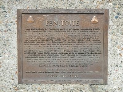
Benitoite
Photographed by Barry Swackhamer, March 22, 2013
1. Benitoite Marker
Erected 2001 by E Clampus Vitus, Monterey Viejo Chapter No. 1846 & James
this page online
Topics and series. This historical marker is listed in this topic list: Natural Features. In addition, it is included in the E Clampus Vitus series list. A significant historical month for this entry is February 1774.
Location. 36° 17.877′ N, 120° 41.636′ W. Marker is near Paicines, California, in San Benito County. It is at the intersection of Coalinga - Los Gatos Road and Union Carbide Road, on the right when traveling west on Coalinga - Los Gatos Road. Touch for map. Marker is at or near this postal address: 25365 Coalinga - Los Gatos Road, Paicines CA 95043, United States of America. Touch for directions.

Regionally, this marker is on the Central Coast and specifically on the Coast Ranges. It is also on the American Pacific Coast. Globally, it is in North America, on the Ring of Fire, on the Pacific Rim, in the Western Hemisphere, in the Western World, and in the Anglosphere. Historically, it finds itself in what was once New Spain and also Mexico’s Alta California.
Other nearby markers. At least 3 other markers are within 9 miles of this marker, measured as the crow flies: Raymond F. Eade (approx. 6.7 miles
Photographed by Barry Swackhamer, March 22, 2013
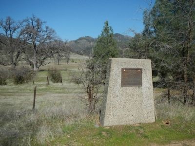
2. Benitoite Marker
Photographed by William Davidson, October 27, 2001
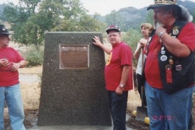
3. Dedication ceremony for the Benitoite Marker
Noble Grand Humbug George Peabody on left and Noble Grand Humbug Bill Davidson on far right jointly dedicate the Benitoite marker in 2001. The late "Infamous Amos" leans against the new marker.
Photographed by N/a, n/a
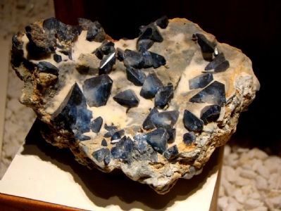
4. Benitoite, the California State Gemstone
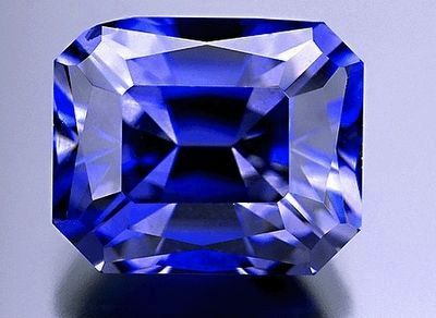
Photographed by N/a, circa n/a
5. Benitoite, the California State Gemstone
Credits. This page was last revised on June 16, 2016. It was originally submitted on March 25, 2013, by Barry Swackhamer of Brentwood, California. This page has been viewed 1,349 times since then and 40 times this year. Photos: 1, 2. submitted on March 25, 2013, by Barry Swackhamer of Brentwood, California. 3. submitted on October 7, 2014, by Lester J Letson of Fresno, California. 4, 5. submitted on March 25, 2013, by Barry Swackhamer of Brentwood, California. • Syd Whittle was the editor who published this page.
