Columbia Heights in Northwest Washington in Washington, District of Columbia — The American Northeast (Mid-Atlantic)
Design Challenges
Meridian Hill Park, National Historic Landmark
— National Park Service, U.S. Department of the Interior —
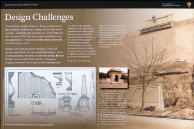
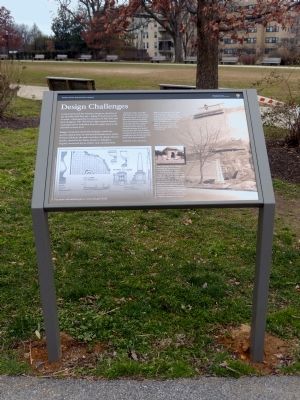
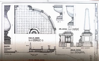
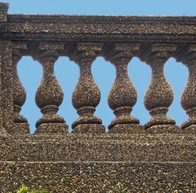
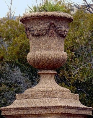
Budget constraints meant the designers could not specify natural stone for the desired Renaissance forms. To find a solution, the park's architect in charge, Horace Peaslee, turned to the Earley Studio in Arlington Virginia, renowned for its artistry and craftsmanship.
"For John Earley, Meridian Hill Park was the beginning of an involvement with concrete that was to last nearly thirty years. Eventually, he became the world's foremost expert on the practical aspects of concrete making, and under his direction the Earley Studio executed works of such unusual complexity and beauty that they have never been equalled. " -- Frederick Cron, historian
For more information go to: www.nps.gov/mehi
Erected by National Park Service, U.S. Department of the Interior.
Topics. This historical marker is listed in these topic lists: Architecture • Arts, Letters, Music • Parks & Recreational Areas.
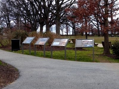
Location. 38° 55.332′ N, 77° 2.128′ W. Marker is in Northwest Washington in Washington, District of Columbia. It is in Columbia Heights. Marker can be reached from 15th Street Northwest north of Chapin Street Northwest, on the left when traveling north. This is one of four markers are on the eastern side of Meridian Hill Park along the park paths paralleling 15th Street just south of the comfort stations. They are across the street from 2407 15th St NW Washington, DC 20009. Touch for map. Marker is in this post office area: Washington DC 20009, United States of America. Touch for directions.
Other nearby markers. At least 8 other markers are within walking distance of this marker. Visionary and Park Champion (here, next to this marker); Creating the "City Beautiful" (here, next to this marker); Park Designers (here, next to this marker); Mansions, Parks, and People (within shouting distance of this marker); An American Meridian (within shouting distance of this marker); College Hill (about 300 feet away, measured in a direct line); Campus to Army Camps and Back Again (about 300 feet away); Art for the People (about 300 feet away). Touch for a list and map of all markers in Northwest Washington.
Also see . . . Meridan Hill Park. This URL appears on the marker. (Submitted on March 27, 2013, by Allen C. Browne of Silver Spring, Maryland.)
Photographed By Allen C. Browne, March 2, 2013
5. The 16th Street Retaining Wall
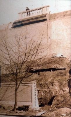
To accommodate the change in elevation and to minimize the impact of what would have been a forbidding expanse of high retaining wall, the designers built a low wall at the sidewalk and then, sloping upward, a buffer area densely planted with trees and shrubs screening a much higher second retaining wall.
Photographed By Allen C. Browne, March 2, 2013
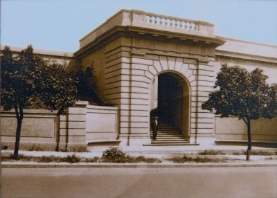
6. The 16th Street Entrance.
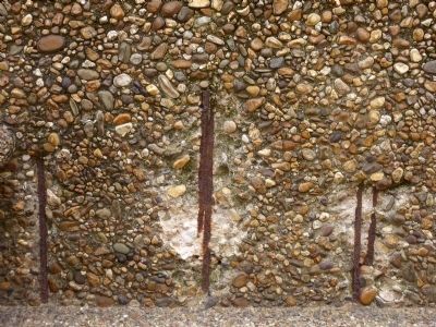
By pulling the forms from the wall panels before the concrete was fully cured and scrubbing the surface with wire brushes to bring out the color of the Potomac River stones in the concrete mixture, Earley produced a lively surface that glowed a creamy tan. For the intricate balustrades, Earley used newspapers piled with sand to draw out moisture and speed up the cure. His studio went on to cast urns, fountains, benches and many other sculpted elements for the park.
Credits. This page was last revised on January 30, 2023. It was originally submitted on March 27, 2013, by Allen C. Browne of Silver Spring, Maryland. This page has been viewed 512 times since then and 13 times this year. Photos: 1, 2, 3, 4, 5, 6, 7, 8, 9. submitted on March 27, 2013, by Allen C. Browne of Silver Spring, Maryland. • Bill Pfingsten was the editor who published this page.
