Belle and Mayo Islands in Richmond, Virginia — The American South (Mid-Atlantic)
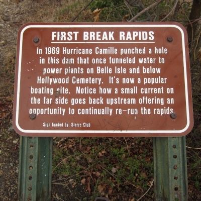
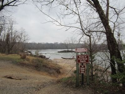
First Break Rapids
Sign funded by: Sierra Club
Erected by James River Park System.
Topics. This historical marker is listed in these topic lists: Disasters • Industry & Commerce. A significant historical year for this entry is 1969.
Location. 37° 31.679′ N, 77° 27.435′ W. Marker is in Richmond, Virginia. It is in Belle and Mayo Islands. Marker can be reached from Tredegar Street, 0.3 miles west of South 5th Street. Located on Belle Isle which can be reached via a pedestrian bridge from the north bank of the river. Touch for map. Marker is at or near this postal address: 470 Tredegar Street, Richmond VA 23219, United States of America. Touch for directions.
Other nearby markers. At least 8 other markers are within walking distance of this marker. Gun Emplacement (about 300 feet away, measured in a direct line); Headgate Cleaner (about 400 feet away); Headgate (about 400 feet away); Quarry Pond (about 500 feet away); Quarry Equipment (approx. 0.2 miles away); Belle Isle Hydro Plant (approx. 0.2 miles away); Hollywood Rapids (approx. ¼ mile away); Native American Fishing (approx. 0.3 miles away). Touch for a list and map of all markers in Richmond.
Credits. This page was last revised on February 1, 2023. It was originally submitted on April 1, 2013, by Bernard Fisher of Richmond, Virginia. This page has been viewed 587 times since then and 45 times this year. Photos: 1, 2. submitted on April 1, 2013, by Bernard Fisher of Richmond, Virginia.

