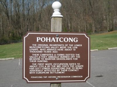
Pohatcong
Warren County, NJ
Their campsites & farms dotted the valley and they annually burned off the meadow to maintain grasslands for hunting.
The first white occupation dates to about 1720 & by the mid 1700's the Lenape had left Lower Pohatcong due to being adversely affected by their contact with European settlement.
Erected by Pohatcong Twp. Historical Preservation Commission.
Topics. This historical marker is listed in these topic lists: Native Americans • Settlements & Settlers. A significant historical year for this entry is 1720.
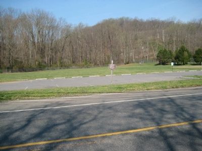
Location. 40° 38.01′ N, 75° 8.092′ W. Marker is near Bloomsbury, New Jersey, in Warren County. It is in Pohatcong Township. Marker is on Riegelsville - Warren Glen Road (County Route 519) just north of Milford-Warren Glen Road, on the right when traveling south. Touch for map. Marker is in this post office area: Bloomsbury NJ 08804, United States of America. Touch for directions.
Other nearby markers. At least 8 other markers are within 2 miles of this marker, measured as the crow flies. Pohatcong Township Veterans Monument (within shouting distance of this marker); Shackletown (approx. 1.1 miles away); Pohatcong Township Vietnam Memorial (approx. 1.2 miles
Credits. This page was last revised on February 7, 2023. It was originally submitted on July 29, 2012, by Alan Edelson of Union Twsp., New Jersey. This page has been viewed 618 times since then and 35 times this year. Last updated on April 6, 2013, by Sharon K Smith of Warren Glen, New Jersey. Photos: 1, 2. submitted on July 29, 2012, by Alan Edelson of Union Twsp., New Jersey. • Bill Pfingsten was the editor who published this page.

