
Clifton in Passaic County, New Jersey — The American Northeast (Mid-Atlantic)
The Morris Canal
Photographed by Doran Howitt, April 2013
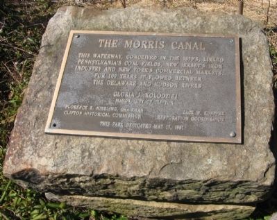
1. The Morris Canal Marker
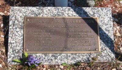
Gloria J. Kolodziej, Mayor, City of Clifton
Florence B. Nibbling, Chairman, Clifton Historical Commission
Jack W. Keupfer, Restoration Coordinator
This park dedicated May 17, 1987
Erected 1987 by Clifton Historical Commission.
Topics and series. This historical marker is listed in these topic lists: Industry & Commerce • Waterways & Vessels. In addition, it is included in the Morris Canal, and the National Historic Landmarks series lists. A significant historical date for this entry is May 17, 1913.
Location. 40° 51.508′ N, 74° 10.536′ W. Marker is in Clifton, New Jersey, in Passaic County. It can be reached from Broad St.. at Morris Canal Park and Nature Preserve. Touch for map. Marker is at or near this postal address: 1115 Broad St, Clifton NJ 07013, United States of America. Touch for directions.

Regionally, this marker is in New Jersey’s North Jersey, in Greater Newark, and in the New York City Metropolitan
this page online
Other nearby markers. At least 8 other markers are within 3 miles of this marker, measured as the crow flies: A different marker also named Morris Canal (approx. ¾ mile away); Woods Road (approx. 1½ miles away); Great Notch (approx. 1.8 miles away); Washington’s Lookout (approx. 2.1 miles away); Lafayette Headquarters (approx. 2.2 miles away); Frederick House (approx. 2.3 miles away); Martin Luther King, Jr. (approx. 2.3 miles away); Acquacknonk Bridge (approx. 2.7 miles away). Touch for a list and map of all markers in Clifton.
Another marker is no longer nearby. Washington’s Lookout (was approx. 2.1 miles away but has been confirmed missing).
Photographed by Doran Howitt, April 2013
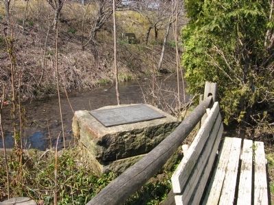
2. The Morris Canal Restoration
Photographed by Doran Howitt, April 2013
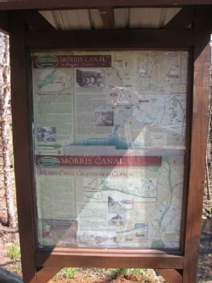
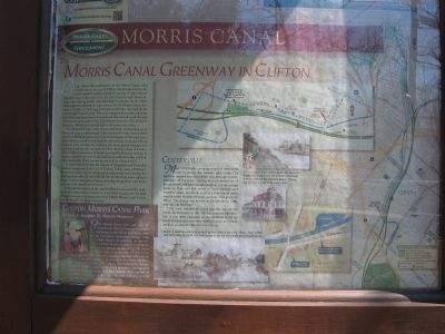
3. Sign board in the park
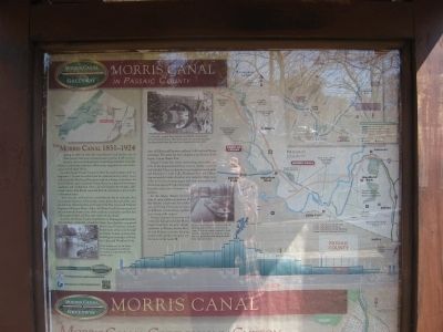
See two higher-resolution photos
Photographed by Doran Howitt, April 2013
4. Sign board top
Photographed by Doran Howitt, April 2013
5. Sign board bottom
Photographed by Doran Howitt, April 2013
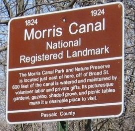
6. Yet Another Morris Canal Marker
Copies of this sign appear in several places nearby and on Broad Street
Photographed by Doran Howitt, April 2013
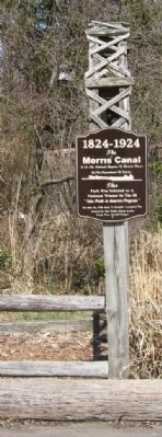
7. Marker at base of flag pole
Photographed by Doran Howitt, April 2013
8. Lots of markers in this park....
Photographed by Doran Howitt, April 2013
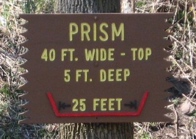
9. "Prism" = canal bed
Photographed by Doran Howitt, April 2013
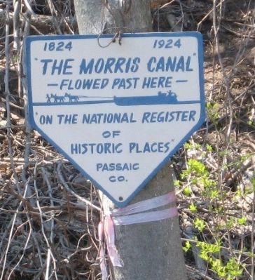
10. The Morris Canal Flowed Past Here
Similar signs are posted other places in Passaic County on the old canal route
Photographed by Doran Howitt, April 2013
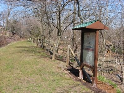
11. The tow path
Photographed by Doran Howitt, April 2013
12. Lots to read in this park....
Photographed by Doran Howitt, April 1, 2013
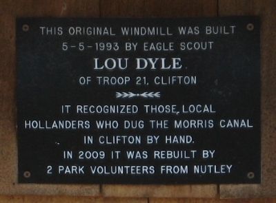
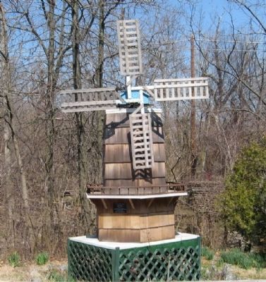
13. Windmill (not a real one) in park
Photographed by Doran Howitt, April 2013
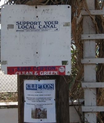
14. Support your local canal
Credits. This page was last revised on June 16, 2016. It was originally submitted on April 6, 2013, by D Howitt of Bergen County, New Jersey. This page has been viewed 696 times since then and 26 times this year. Photos: 1, 2, 3, 4, 5, 6, 7, 8, 9, 10, 11, 12, 13, 14. submitted on April 6, 2013, by D Howitt of Bergen County, New Jersey. • Bill Pfingsten was the editor who published this page.
