Bivalve in Cumberland County, New Jersey — The American Northeast (Mid-Atlantic)
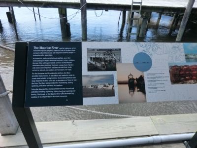
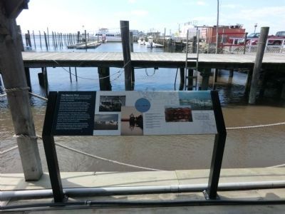
Maurice River
Its resources, particularly fish and shellfish, were first embraced by the Native American cultures. It fact, middens (dumps) filled with oyster shells are how archaeologists determine where and how the Lenni Lenape lived. Oysters and claims were important food sources and their shells served as utensils, decorations and wampum for trade.
For the European and Scandinavian settlers, the River provided many means. It was diked and banked in order to create land suitable for agriculture. Glassmaking thrived with large deposits of silica sand and an abundance of trees to fuel the fires. The River also provided for shipbuilding fishing, oystering, and other maritime occupations.
Today the Maurice River hosts commercial and recreational activities including: oystering, fishing, hunting, kayaking and birding. The people of the Maurice River and Delaware Bay continue to be shaped by its abundant resources.
(Inscription regarding the photos)
Top left Work Boat, photographed by John J. Nardona 2009, courtesy of the photographer. Bottom left: Clam processing plant, photograph by John J. Nardone, 2009, courtesy of the photographer. Left: The Debbie and Jeanette, photograph by John J. Nardona, courtesy of the photographer. Above: Tongers, photo by John J Nardone, 2010, courtesy of the photographer. Right: Crab traps, photograph by John J. Nardone, 2009, courtesy of the photographer. Top right: Marina, photograph by John J. Nardone, 2006, courtesy of the photographer.
Topics. This historical marker is listed in these topic lists: Industry & Commerce • Waterways & Vessels. A significant historical year for this entry is 2009.
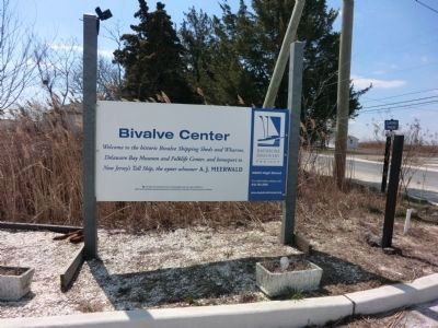
Location. 39° 13.968′ N, 75° 1.968′ W. Marker is in Bivalve, New Jersey, in Cumberland County. Marker is on High Street. Touch for map. Marker is in this post office area: Port Norris NJ 08349, United States of America. Touch for directions.
Other nearby markers. At least 8 other markers are within 3 miles of this marker, measured as the crow flies. Bivalve Oyster Shipping Sheds (within shouting distance of this marker); The Schooner AJ Meerwald (within shouting distance of this marker); Delaware Bay and River (within shouting distance of this marker); Ecology in the Watershed (within shouting distance of this marker); Steps to Harvest Oysters and Bring to Market (within shouting distance of this marker); a different marker also named Steps to Harvest Oysters and Bring to Market (within shouting distance of this marker); A Guiding Light
(approx. 2.6 miles away); All Shapes, Sizes and Materials (approx. 2.6 miles away). Touch for a list and map of all markers in Bivalve.
Credits. This page was last revised on June 16, 2016. It was originally submitted on April 12, 2013, by Don Morfe of Baltimore, Maryland. This page has been viewed 343 times since then and 10 times this year. Photos: 1, 2, 3. submitted on April 12, 2013, by Don Morfe of Baltimore, Maryland. • Bill Pfingsten was the editor who published this page.


