Amissville in Rappahannock County, Virginia — The American South (Mid-Atlantic)
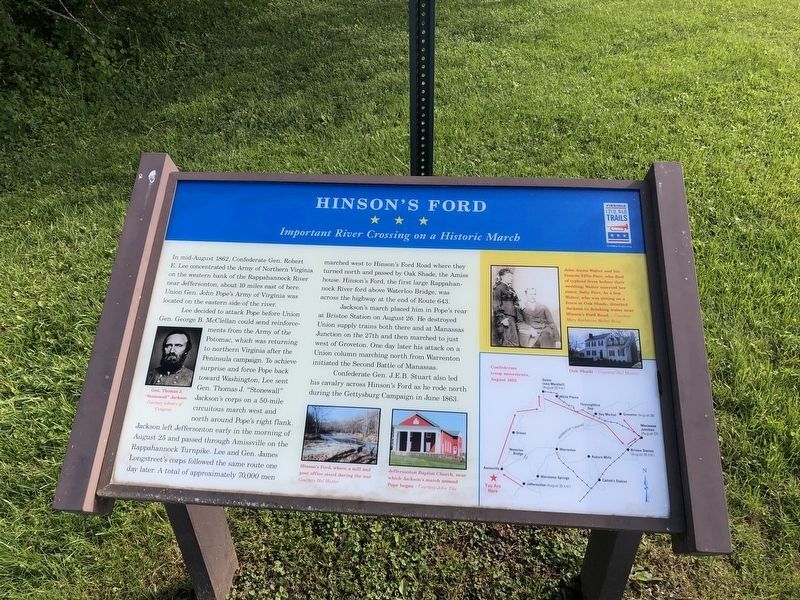
Hinson's Ford
Important River Crossing on a Historic March
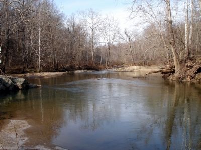
Lee decided to attack Pope before Union Gen. George B. McClellan could send reinforcements from the Army of the Potomac, which was returning to northern Virginia after the Peninsula campaign. To achieve surprise and force Pope back toward Washington, Lee sent Gen. Thomas J. “Stonewall” Jackson’s corps on a 5-mile circuitous march west and north around Pope’s right flank. Jackson left Jeffersonton early in the morning of August 25 and passed through Amissville on the Rappahannock Turnpike. Lee and Gen. James Longstreet’s corps followed the same route one day later. A total of approximately 70,000 men marched west to Hinson’s Ford Road where they turned north and passed by Oak Shade, the Amiss house. Hinson’s Ford, the first large Rappahannock River ford above Waterloo Bridge, was across the highway at the end of Route 643.
Jackson’s march placed him in Pope’s rear at Bristoe Station on August 26. He destroyed Union supply trains both there and at Manassas Junction on the 27th and then marched to just west of Groveton. One day later this attack on a Union column marching north from Warrenton initiated the Second Battle of Manassas.
Confederate Gen. J.E.B. Stuart also led his cavalry across Hinson’s Ford as he road north during the Gettysburg Campaign in June 1863.
(Sidebar): John Amiss Walter and his fiancée Effie Parr, who died of typhoid fever before their wedding; Walter married her sister, Sally Parr. As a boy, Walter, who was sitting on a fence at Oak Shade, directed Jackson to drinking water near Hinson’s Ford Road.
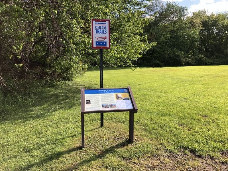
Erected by Virginia Civil War Trails.
Topics and series. This historical marker is listed in this topic list: War, US Civil. In addition, it is included in the Virginia Civil War Trails series list. A significant historical month for this entry is June 1863.
Location. 38° 40.862′ N, 78° 0.404′ W. Marker is in Amissville, Virginia, in Rappahannock County. Marker is on Lee Highway (U.S. 211), on the right when traveling east. Marker is located at Mayhugh's Store (Citgo) east of Hinsons Ford Road. Touch for map. Marker is in this post office area: Amissville VA 20106, United States of America. Touch for directions.
Other nearby markers. At least 8 other markers are within 5 miles of this marker, measured as the crow flies. Campaign of Second Manassas (about 600 feet away, measured in a direct line); Eliza Brown and the Custers (approx. 0.9 miles away); Corbin's Crossroads (approx. one mile away);
More about this marker. On the left side of the marker is a portrait of Gen. Thomas J. "Stonewall" Jackson Courtesy Library of Congress. The lower section of the marker displays two photos captioned Hinson's Ford, where a mill and post office stood during the war Courtesy Hall Hunter and Jeffersonton Baptist Church, near which Jackson's march around Pope began — Courtesy John Tole. On the lower right of the marker is a map displaying Confederate troop movements, August 1862. On the upper right of the marker are a portrait — Courtesy Mary Katherin Walter Rily and a photo captioned Oak Shade—Courtesy Hall Hunter.
Also see . . . Sites on Hinson's Ford Road (Route 643). (Submitted on April 14, 2013.)
Credits. This page was last revised on May 10, 2021. It was originally submitted on April 14, 2013. This page has been viewed 1,295 times since then and 36 times this year. Photos: 1, 2. submitted on May 10, 2021, by Devry Becker Jones of Washington, District of Columbia. 3. submitted on April 14, 2013. • Craig Swain was the editor who published this page.


