Mauricetown in Cumberland County, New Jersey — The American Northeast (Mid-Atlantic)
A River to Enjoy and Protect
Maurice River
Photographed by Don Morfe, April 2, 2013
1. A River to Enjoy and Protect Marker
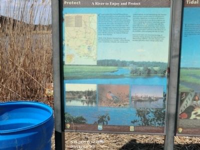
Think of the Maurice National Scenic and Recreational River as a “corridor” of free-flowing water, woodlands, wetlands, and salt marshes and related habitats. In our industrial age, the Maurice River corridor is such a rarity it is recognized as nationally important. Located on the Atlantic Flyway, its clean waters and diverse habitats are vital to migrating shorebirds, waterfowl, raptors and songbirds. The salt marshes and tidal flats teem with microscopic plankton, a basic link in the food chain of much marine life. These shallow estuary waters play a vital role in the
this page online
The New Jersey Coastal Heritage Trail Route links the Maurice River, and other natural areas and historic sites in Southern New Jersey.
Erected by National Park Service and US Department of the Interior National Wild and Scenic River Systems.
Topics. This historical marker is listed in this topic list: Waterways & Vessels. A significant historical month for this entry is December 1993.
Location. 39° 17.25′ N, 74° 59.268′ W. Marker is in Mauricetown, New Jersey, in Cumberland County. It is on Mauricetown Crossway Road. Touch for map. Marker is in this post office area: Mauricetown NJ 08329, United States of America. Touch for directions.

Regionally, this marker is in New Jersey’s South Jersey. It is also in the American Northeast, in the Mid-Atlantic, and on the Eastern Seaboard. Globally, it is in the North Atlantic Region, North America, the Western Hemisphere, the Western
Photographed by Don Morfe, April 2, 2013
2. A River to Enjoy and Protect Marker
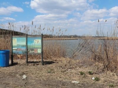
A distant photo of this marker and the Salt Marshes and Tital Flats marker next to it.
Other nearby markers. At least 8 other markers are within 5 miles of this marker, measured as the crow flies: Slipping Away (approx. 3.2 miles away); Steps to Harvest Oysters and Bring to Market (approx. 4½ miles away); a different marker also named Steps to Harvest Oysters and Bring to Market (approx. 4½ miles away); Bivalve Oyster Shipping Sheds (approx. 4½ miles away); The Schooner AJ Meerwald (approx. 4½ miles away); Delaware Bay and River (approx. 4½ miles away); Ecology in the Watershed (approx. 4½ miles away); Maurice River (approx. 4½ miles away).
Photographed by Don Morfe, April 2, 2013
3. A River to Enjoy and Protect Marker
Photographed by Don Morfe, April 2, 2013
4. A River to Enjoy and Protect Marker
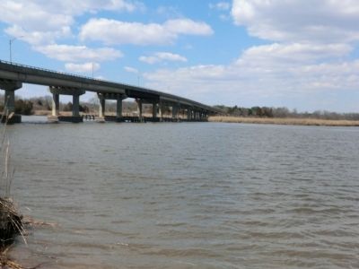
This marker is at the entrance to the bridge
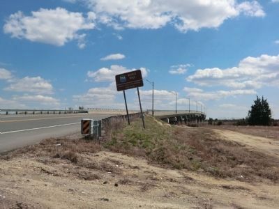
Photographed by Don Morfe, April 2, 2013
5. A River to Enjoy and Protect Marker
A distant shot of the Maurice River marker near the bridge.
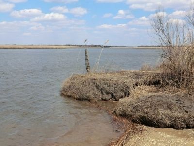
Photographed by Don Morfe, April 2, 2013
6. A River to Enjoy and Protect Marker
Salt Marshes and Tital Flats
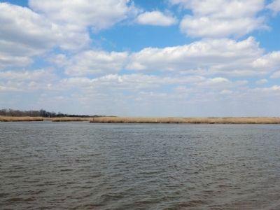
Photographed by Don Morfe, April 2, 2013
7. A River to Enjoy and Protect Marker
Salt Marshes and Tital Flats
Credits. This page was last revised on June 16, 2016. It was originally submitted on April 14, 2013, by Don Morfe of Baltimore, Maryland. This page has been viewed 470 times since then and 6 times this year. Photos: 1, 2, 3, 4, 5. submitted on April 14, 2013, by Don Morfe of Baltimore, Maryland. 6, 7. submitted on April 15, 2013, by Don Morfe of Baltimore, Maryland. • Bill Pfingsten was the editor who published this page.
