Brookneal in Campbell County, Virginia — The American South (Mid-Atlantic)
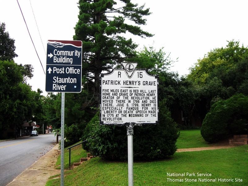
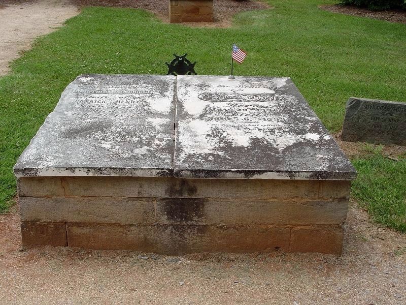
Patrick Henry’s Grave
Erected 1949 by Virginia Conversation Commission. (Marker Number R-15.)
Topics and series. This historical marker is listed in these topic lists: Colonial Era • Communications • War, US Revolutionary. In addition, it is included in the Virginia Department of Historic Resources (DHR) series list. A significant historical date for this entry is June 6, 1993.
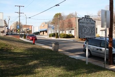
Location. 37° 2.77′ N, 78° 56.543′ W. Marker is in Brookneal, Virginia, in Campbell County. Marker is on Main Street south of East Rush Street (County Route 1103), on the right when traveling south. Touch for map. Marker is at or near this postal address: 271 Main St, Brookneal VA 24528, United States of America. Touch for directions.
Other nearby markers. At least 8 other markers are within 3 miles of this marker, measured as the crow flies. A different marker also named Patrick Henry’s Grave (approx. 0.2 miles away); Birthplace of General Pick (approx. 0.2 miles away); Campbell County / Halifax County (approx. 0.7 miles away); Slave and African American Cemetery (approx. 2.6 miles away); Quarter Place Trailhead (approx. 2.6 miles away); Red Hill (approx. 2.6 miles away); a different marker also named Red Hill (approx. 2.6 miles away); Hat Creek Church (approx. 2.6 miles away). Touch for a list and map of all markers in Brookneal.
More about this marker. This marker is the old number R-15 marker. Its replacement is one block away on Route 501. (When this one was first erected, Main Street was U.S. 501.) This R-15 was reported missing in both Margaret Peter’s 1985 Guidebook to Virginia’s Historical Markers and John Salmon’s revision in 1994. It was probably still missing in 1997 when its replacement was erected, or it surely would have been retired. This may be the only ‘old’ Virginia state marker coexisting with its replacement.
Regarding Patrick Henry’s Grave. Follow Route 40 east to Mt. Calvary Road, which will take you to Red Hill in Charlotte County. Follow the signs. It is open daily and worth the detour and admission price.
Also see . . .
1. Red Hill - Patrick Henry Memorial Foundation. Red Hill website homepage (Submitted on March 31, 2022, by Larry Gertner of New York, New York.)
2. Patrick Henry. Find A Grave website entry (Submitted on March 31, 2022, by Larry Gertner of New York, New York.)
Credits. This page was last revised on March 31, 2022. It was originally submitted on April 14, 2013, by J. J. Prats of Powell, Ohio. This page has been viewed 987 times since then and 33 times this year. It was the Marker of the Week April 28, 2013. Photos: 1, 2. submitted on April 14, 2013, by J. J. Prats of Powell, Ohio. 3. submitted on August 19, 2019. 4. submitted on April 14, 2013, by J. J. Prats of Powell, Ohio. 5. submitted on March 31, 2022, by Larry Gertner of New York, New York.


