Mottville in St. Joseph County, Michigan — The American Midwest (Great Lakes)
Mottville Bridge
(Front Side)
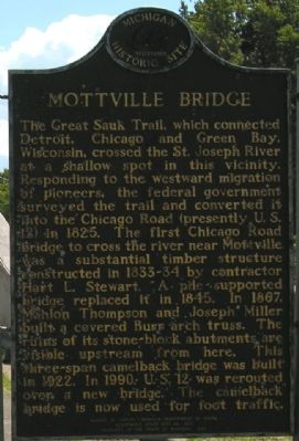
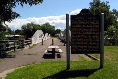
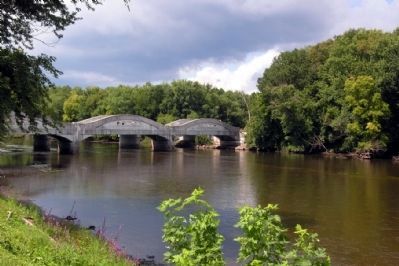
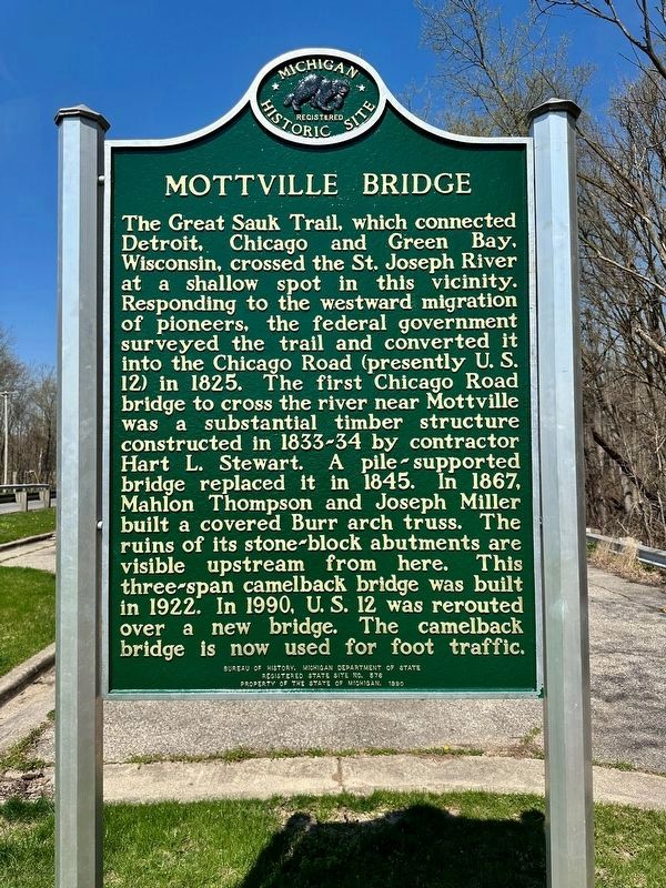
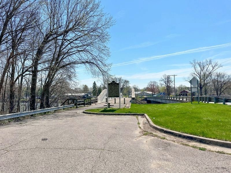
The Great Sauk Trail, which connected Detroit, Chicago and Green Bay, Wisconsin, crossed the St. Joseph River at a shallow spot in this vicinity. Responding to the westward migration of pioneers, the federal government surveyed the trail and converted it into the Chicago Road (presently U.S. 12) in 1825. The first Chicago Road bridge to cross the river near Mottville was a substantial timber structure constructed in 1833-34 by contractor Hart L. Stewart. A pile-supported bridge replaced it in 1845. In 1867, Mahlon Thompson and Joseph Miller built a covered Burr arch truss. The ruins of its stone-block abutments are visible upstream from here. This three-span camelback bridge was built in 1922. In 1990 U.S. 12 was rerouted over a new bridge. The camelback bridge is now used for foot traffic.
(Back Side)
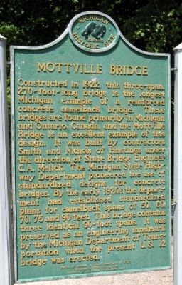
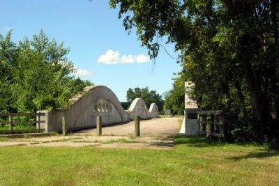
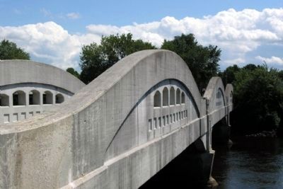
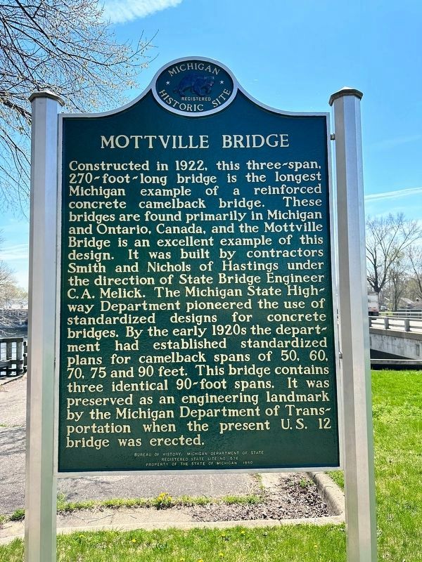
Constructed in 1922, this three-span, 270-foot-long bridge is the longest Michigan example of a reinforced concrete camelback bridge. These bridges are found primarily in Michigan and Ontario, Canada, and the Mottville Bridge is an excellent example of this design. It was built by contractors Smith and Nichols of Hastings under the direction of State Bridge Engineer C.A. Melick. The Michigan State Highway Department pioneered the use of standardized designs for concrete bridges. By the early 1920s the department had established standardized plans for camelback spans of 50, 60, 70, 75 and 90 feet. This bridge contains three identical 90-foot spans. It was preserved as an engineering landmark by the Michigan Department of Transportation when the present U.S. 12 bridge was erected.
Erected 1990 by Bureau of History, Michigan Department of State. (Marker Number S576A.)
Topics and series. This historical marker is listed in these topic lists: Bridges & Viaducts • Roads & Vehicles. In addition, it is included in the Michigan Historical Commission series list. A significant historical year for this entry is 1825.
Location. 41° 48.029′ N, 85° 45.443′ W. Marker is in Mottville, Michigan, in St. Joseph County. Marker is on West Chicago Road (U.S. 12) 0.1 miles east of North River Rd, on the right when traveling west. Touch for map. Marker is in this post office area: White Pigeon MI 49099, United States of America. Touch for directions.
Other nearby markers. At least 8 other markers are within 6 miles of this marker, measured as the crow flies. Trout Creek Cemetery (approx. 4.4 miles away in Indiana); White Pigeon Fallen Soldiers Memorial (approx. 4.9 miles away); In Memory of Wahbememe (approx. 4.9 miles away); Chief Wahbememe Burial Site (approx. 4.9 miles away); Gov. John S. Barry (approx. 5.4 miles away); Constantine Civil War Monument (approx. 5.4 miles away); John Stewart Barry (approx. 5.4 miles away); William Meek (approx. 5.4 miles away).
Also see . . . Mottville Bridge: The King of Michigan's Unique Concrete Camelback Bridges. HistoricBridges.org's page on the Mottville Bridge: ".... The Mottville Bridge, and indeed all of Michigan's 90 foot concrete camelback spans should be considered to have national historic significance, since these spans exceed the national average maximum length for concrete through girder bridges (either curved or straight chord) by 30 feet, since most states only built through girder bridges up to 60 feet. In addition, Michigan's 90 foot spans, including those seen on the Mottville Bridge are perhaps the most beautiful and architecturally well-designed of any concrete through girders in the country...." (Submitted on November 19, 2012.)
Credits. This page was last revised on April 15, 2023. It was originally submitted on November 18, 2012, by Duane Hall of Abilene, Texas. This page has been viewed 610 times since then and 25 times this year. Last updated on April 19, 2013, by Duane Hall of Abilene, Texas. Photos: 1, 2. submitted on November 18, 2012, by Duane Hall of Abilene, Texas. 3. submitted on January 20, 2014, by Duane Hall of Abilene, Texas. 4, 5. submitted on November 18, 2012, by Duane Hall of Abilene, Texas. 6. submitted on January 20, 2014, by Duane Hall of Abilene, Texas. 7. submitted on November 18, 2012, by Duane Hall of Abilene, Texas. 8. submitted on January 20, 2014, by Duane Hall of Abilene, Texas. 9, 10, 11. submitted on April 15, 2023, by J.T. Lambrou of New Boston, Michigan. • Bernard Fisher was the editor who published this page.
