Near Snir in Upper Galilee Regional Council, Northern District, Israel — West Asia (the Levant in the Middle East)
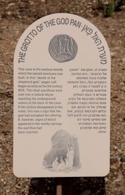
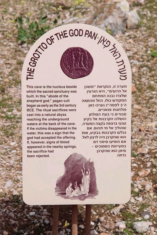
The Grotto of the God Pan
מערת האל פאן
English Text:
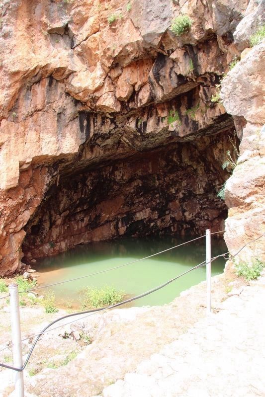
The cave is the nucleus beside which the sacred sanctuary was built. In this "abode of the shepherd god," pagan cult began as early as the 3rd century BCE. The ritual sacrifices were cast into a natural abyss reaching the underground waters at the back of the cave. If the victims disappeared in the water, this was a sign that the god had accepted the offering. If. however, signs of blood appeared in the nearby springs, the sacrifice had been rejected.
Topics and series. This historical marker is listed in these topic lists: Anthropology & Archaeology • Churches & Religion • Man-Made Features. In addition, it is included in the Caesarea Philippi Tour series list.
Location. 33° 14.931′ N, 35° 41.669′ E. Marker is near Snir, Northern District, in Upper Galilee Regional Council. Marker can be reached from National Route 99 just east of Local Route 999, on the left when traveling north. I used google maps to try to obtain directional information, but many of the streets in this area of Israel appear to be un-named. Even using the google map directions feature has the last turn being made on a street referred to as "unknown road." From Tiberias take Route 90 north about 54 km, then turn right onto Route 99 and proceed for 12.9 km, and then finally turn left onto "unknown road" for about 110 m and the Caesarea Philippi National Park will be on your right. Touch for map. Touch for directions.
Other nearby markers. At least 8 other markers are within 5 kilometers of this marker, measured as the crow flies. The Sanctuary of Pan (here, next to this marker); The Court of Pan & the Nymphs (here, next to this marker); The Temple of Augustus (here, next to this marker); The Temple of Zeus (a few steps from this marker); The Court of Nemesis (a few steps from this marker); The Tomb Temple of the Sacred Goats (within shouting distance of this marker); The Temple of Pan and The Dancing Goats (within shouting distance of this marker); The Canaanite Gate (approx. 3.7 kilometers away). Touch for a list and map of all markers in Snir.
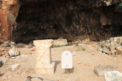
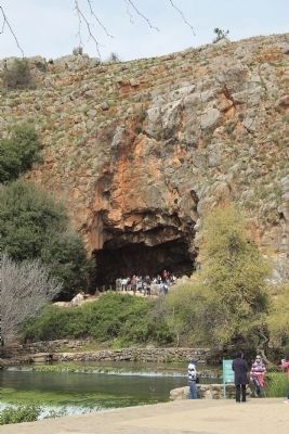
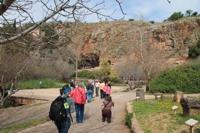
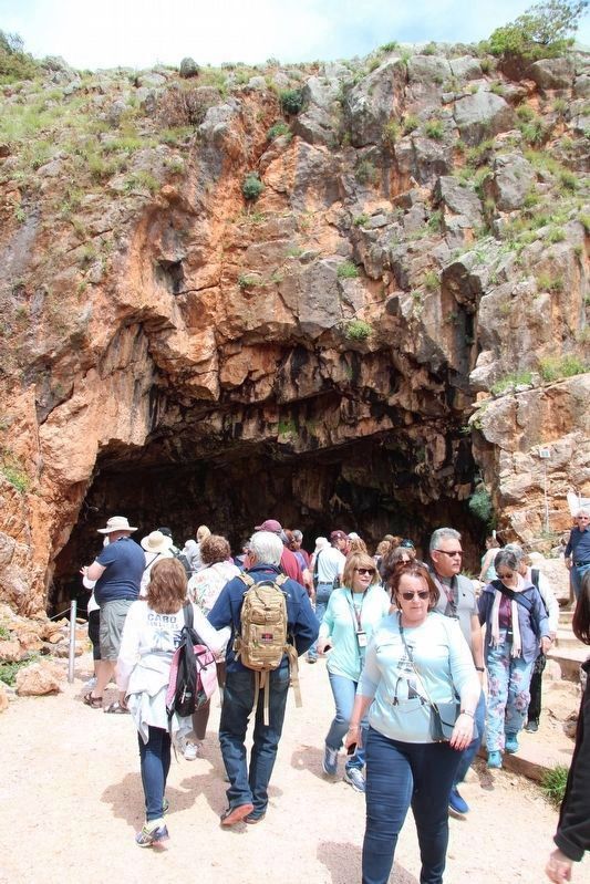
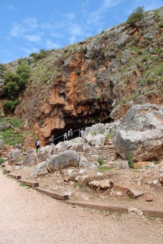
More about this marker. This marker is located on the far side of the Hermon River Springs, near the base of a rather remarkable looking rock cliff, immediately in front of the Grotto (cave) of Pan.
Related markers. Click here for a list of markers that are related to this marker. To better understand the relationship, study each marker in the order shown.
Also see . . .
1. Caesarea Philippi. This is a link to information provided by Wikipedia, the free encyclopedia. (Submitted on April 23, 2013, by Dale K. Benington of Toledo, Ohio.)
2. Caesarea Philippi.
This is a link to information provided by the Seetheholyland.net website. (Submitted on April 23, 2013, by Dale K. Benington of Toledo, Ohio.)
3. Banias Temples. This is a link to information provided by the BibleWalks.com website. (Submitted on April 23, 2013, by Dale K. Benington of Toledo, Ohio.)
4. Caesarea Philippi, the Gates of Hades. This is a link to information provided by the Generation Word's web site. (Submitted on April 23, 2013, by Dale K. Benington of Toledo, Ohio.)
5. Banyas: Cult Center of the God Pan. This is a link to information provided by the Jewish Virtual Library. (Submitted on April 24, 2013, by Dale K. Benington of Toledo, Ohio.)
Photographed By Dale K. Benington, March 7, 2013
4. The Grotto of the God Pan
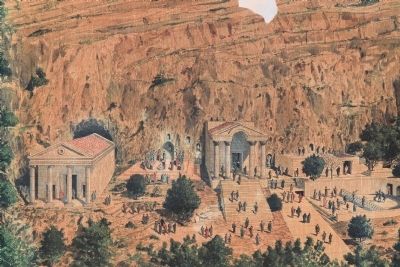
A nearby marker has an artist's rendering of what the temples at the Grotto of Pan most probably looked like. The temple structure to the far left would be the Temple of Augustus and the Grotto of Pan was directly behind the Temple of Augustus.
Credits. This page was last revised on December 10, 2022. It was originally submitted on April 23, 2013, by Dale K. Benington of Toledo, Ohio. This page has been viewed 2,861 times since then and 355 times this year. Last updated on April 23, 2013. Photos: 1, 2, 3, 4, 5. submitted on April 23, 2013, by Dale K. Benington of Toledo, Ohio. 6, 7, 8, 9. submitted on October 22, 2019, by Dale K. Benington of Toledo, Ohio. • Bill Pfingsten was the editor who published this page.
