St. Joseph in Berrien County, Michigan — The American Midwest (Great Lakes)
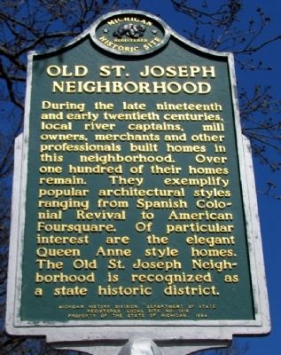
Old St. Joseph Neighborhood
Registered Michigan Historic Site
Photographed by Duane Hall, April 26, 2013
1. Old St. Joseph Neighborhood Marker
Erected 1984 by Michigan History Division, Department of State. (Marker Number L1019A.)
Topics and series. This historical marker is listed in these topic lists: Architecture • Industry & Commerce • Settlements & Settlers • Waterways & Vessels. In addition, it is included in the Michigan Historical Commission series list.
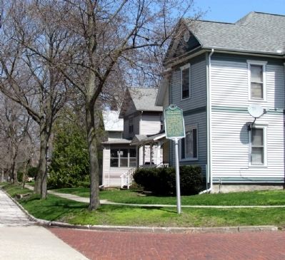
Location. 42° 6.107′ N, 86° 29.281′ W. Marker is in St. Joseph, Michigan, in Berrien County. It is at the intersection of State Street and Sutherland Street, on the left when traveling south on State Street. Marker is at northeast corner of intersection. Touch for map. Marker is in this post office
this page online

Regionally, this marker is in Southwest Michigan and specifically in one of the Lake Michigan Shore counties. It is also in the American Midwest. Globally, it is in North America, on the Great Lakes, in the Western Hemisphere, in the Western World, and in the Anglosphere. Historically, it finds itself in what was once the Viceroyalty of New France and also the Northwest Territory.
Other nearby markers. At least 8 other markers are within walking distance of this marker: Pioneer Aviator (approx. 0.4 miles away); Immigrants (approx. half a mile away); St. Joseph Maritime Heritage (approx. half a mile away); Lighthouses on the Pier (approx. half a mile away); La Salle Memorial (approx. half a mile away); Lighthouses on the Bluff (approx. half a mile away); Eleven Inch Dahlgren (approx. half a mile away); Silver Beach Amusement Park (approx. 0.6 miles away). Touch for a list and map of all markers in St. Joseph.
Photographed by Duane Hall, April 26, 2013
2. Old St. Joseph Neighborhood Marker
Photographed by Duane Hall, April 26, 2013
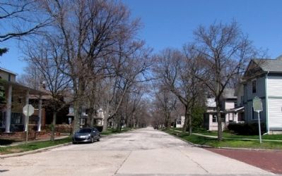
3. Old St. Joseph Neighborhood
Credits. This page was last revised on December 6, 2020. It was originally submitted on April 28, 2013, by Duane Hall of Abilene, Texas. This page has been viewed 1,839 times since then and 107 times this year. Photos: 1, 2, 3. submitted on April 28, 2013, by Duane Hall of Abilene, Texas. • Bernard Fisher was the editor who published this page.
