Near Burgess in Dinwiddie County, Virginia — The American South (Mid-Atlantic)
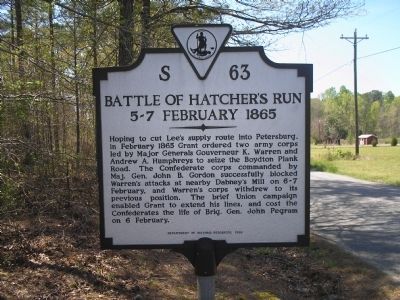
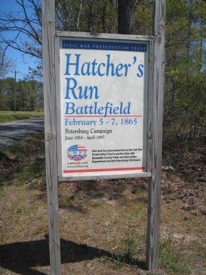
Battle of Hatcher’s Run
5-7 February 1865
Erected 1990 by Department of Historic Resources. (Marker Number S-63.)
Topics and series. This historical marker is listed in these topic lists: War, US Civil • Waterways & Vessels. In addition, it is included in the Battlefield Trails - Civil War, and the Virginia Department of Historic Resources (DHR) series lists. A significant historical month for this entry is February 1865.
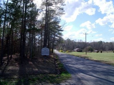
Location. 37° 7.489′ N, 77° 29.805′ W. Marker is near Burgess, Virginia, in Dinwiddie County. Marker is on Dabney Mill Road (Virginia Route 613), on the right when traveling east. Touch for map. Marker is in this post office area: Burgess VA 22432, United States of America. Touch for directions.
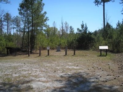
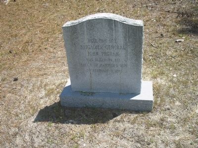
Other nearby markers. At least 8 other markers are within 2 miles of this marker, measured as the crow flies. A different marker also named The Battle of Hatcher’s Run (a few steps from this marker); Brigadier General John Pegram (within shouting distance of this marker); a different marker also named The Battle of Hatcher’s Run (within shouting distance of this marker); Hatcher's Run Battlefields (approx. 1.4 miles away); a different marker also named Hatcher's Run Battlefields (approx. 1.4 miles away); a different marker also named Hatcher's Run Battlefields (approx. 1½ miles away); a different marker also named Hatcher's Run Battlefields (approx. 1.6 miles away); Quaker Road Engagement (approx. 1.7 miles away). Touch for a list and map of all markers in Burgess.
Related markers. Click here for a list of markers that are related to this marker. Battle of Hatcher's Run by markers.
Also see . . .
1. Battle of Hatcher’s Run. Civil War Preservation Trust. (Submitted on March 22, 2008, by Bill Coughlin of Woodland Park, New Jersey.)
2. Hatcher's Run. National Park Site. (Submitted on March 22, 2008, by Bill Coughlin of Woodland Park, New Jersey.)
3. Hatcher's Run, Feb. 5-7. The Civil War Siege of Petersburg. (Submitted on December 21, 2008, by Bill Coughlin of Woodland Park, New Jersey.)
Credits. This page was last revised on July 6, 2021. It was originally submitted on March 22, 2008, by Bill Coughlin of Woodland Park, New Jersey. This page has been viewed 3,013 times since then and 64 times this year. Photos: 1, 2. submitted on March 22, 2008, by Bill Coughlin of Woodland Park, New Jersey. 3. submitted on June 2, 2010, by Bernard Fisher of Richmond, Virginia. 4, 5. submitted on March 22, 2008, by Bill Coughlin of Woodland Park, New Jersey. • Craig Swain was the editor who published this page.
