Dickerson in Montgomery County, Maryland — The American Northeast (Mid-Atlantic)
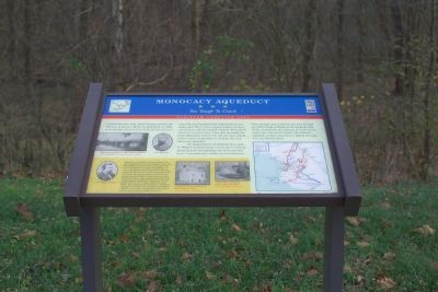
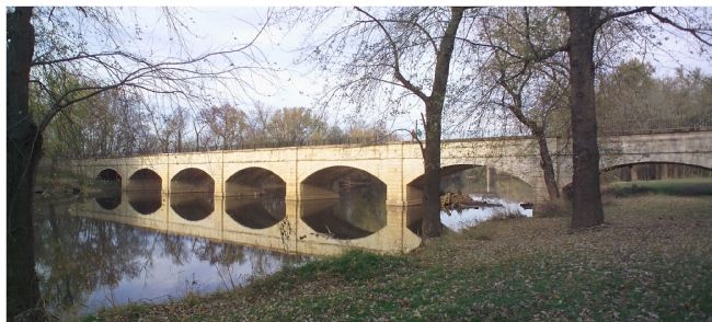
Monocacy Aqueduct
Too Tough To Crack
ó Antietam Campaign 1862 ó
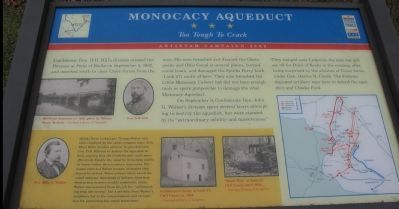
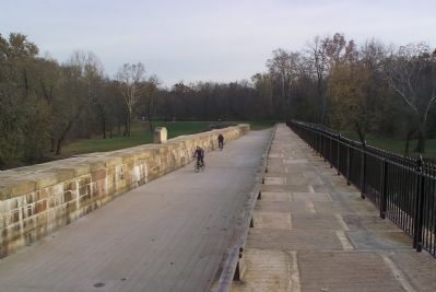
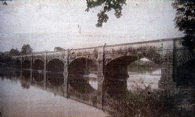
On September 9, Confederate Gen. John G. Walkerís division spent several hours attempting to destroy the aqueduct, but were stymied by its “extreme solidity and massiveness.” They camped near Licksville the next day and set off for Point of Rocks in the evening, after being surprised by the advance of Union forces under Gen. Darius N. Couch. The Federals deployed artillery near here to defend the aqueduct and Cheeks Ford.
(sidebar) Spinks Ferry lockkeeper Thomas Walter had been employed by the canal company since 1839. When Hill's division arrived, he pleaded with Gen. D.H. Hill not to destroy the aqueduct or lock, arguing that the Confederates could more effectively disable the canal by breaching earthen banks rather than masonry structures. Witnesses reported Walter became so heated they feared his arrest. These actions likely saved the canal company thousands of dollars, diverting destruction to more readily repairable areas. Walter was removed from his job for “collaborating with the enemy,” but a petition from Walterís neighbors led to his reinstatement and recognition for protecting key canal structures.
Topics and series. This historical marker is listed in these topic lists: War, US Civil • Waterways & Vessels. In addition, it is included in the Chesapeake and Ohio (C&O) Canal, and the Maryland Civil War Trails series lists. A significant historical month for this entry is September 1639.
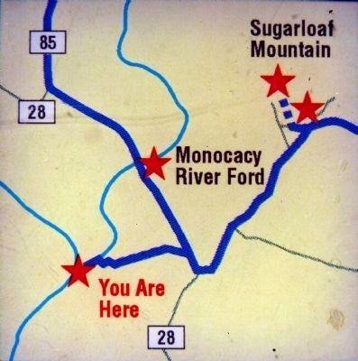
Location. 39° 13.369′ N, 77° 27.063′ W. Marker is in Dickerson, Maryland, in Montgomery County. Marker can be reached from the intersection of Mouth of Monocacy Road and Dickerson Road (Maryland Route 28). Touch for map. Marker is in this post office area: Dickerson MD 20842, United States of America. Touch for directions.
Other nearby markers. At least 8 other markers are within 3 miles of this marker, measured as the crow flies. Springing Over the Monocacy / The Enduring Aqueduct (about 800 feet away, measured in a direct line); Chesapeake and Ohio Aqueduct (approx. 1.3 miles away); Historic Site (approx. 1.6 miles away); 1862 Antietam Campaign (approx. 1.6 miles away); Gettysburg Campaign (approx. 1.6 miles away); Linden Farm (approx. 1.7 miles away); Washington's Farm (approx. 2.1 miles away); White's Ford (approx. 2.2 miles away). Touch for a list and map of all markers in Dickerson.
More about this marker. On the left side is a photo of Monocacy Aqueduct ca. 1892, photo by William Henry Jackson. Along side is a portrait of Gen. D.H. Hill.
In the sidebar is a portrait of Gen. John G. Walker as well as a photos of "Lockkeeper's House at Lock 27, C&O Canal, ca. 1934 and 'Wast Wier' at Lock 27, C&O Canal, April 1959.
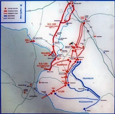
On the right side is a map showing Confederate and Federal movements during the Antietam campaign.
Also see . . . The Monocacy Aqueduct. 2004 article in The Smithsonian Associates Civil War E-Mail Newsletter, Volume 5, Number 7. (Submitted on November 24, 2006.)
Credits. This page was last revised on September 22, 2019. It was originally submitted on November 24, 2006, by Tom Fuchs of Greenbelt, Maryland. This page has been viewed 3,475 times since then and 23 times this year. Last updated on May 8, 2013, by Allen C. Browne of Silver Spring, Maryland. Photos: 1. submitted on November 24, 2006, by Tom Fuchs of Greenbelt, Maryland. 2. submitted on December 16, 2007, by Craig Swain of Leesburg, Virginia. 3, 4, 5. submitted on November 24, 2006, by Tom Fuchs of Greenbelt, Maryland. 6, 7, 8. submitted on May 7, 2013, by Allen C. Browne of Silver Spring, Maryland. • Bill Pfingsten was the editor who published this page.
