Hagerstown in Washington County, Maryland — The American Northeast (Mid-Atlantic)
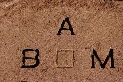
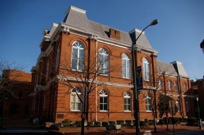
Bench Mark "A"
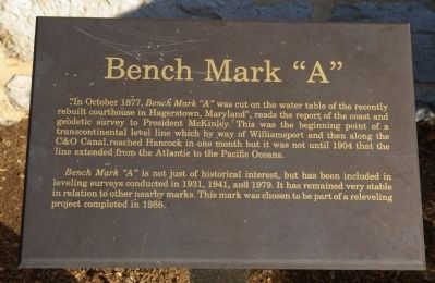
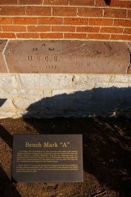
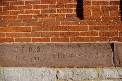
Bench Mark "A" is not just of historical interest, but has been included in leveling surveys conducted in 1931, 1941, and 1979. It has remained very stable in relation to other nearby marks. This mark was chosen to be part of a releveling project completed in 1988.
Topics and series. This historical marker is listed in these topic lists: Arts, Letters, Music • Exploration • Waterways & Vessels. In addition, it is included in the Chesapeake and Ohio (C&O) Canal, the Former U.S. Presidents: #25 William McKinley, and the Maryland, Washington County Historical Advisory Committee series lists. A significant historical month for this entry is October 1877.
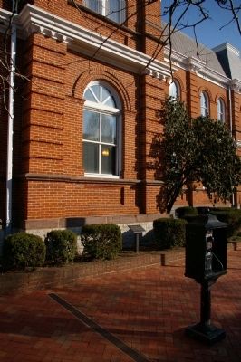
Location. 39° 38.57′ N, 77° 43.371′ W. Marker is in Hagerstown, Maryland, in Washington County. Marker is on Summit Avenue, on the right when traveling north. Touch for map. Marker is in this post office area: Hagerstown MD 21740, United States of America. Touch for directions.
Other nearby markers. At least 8 other markers are within walking distance of this marker. Ransom of Hagerstown (within shouting distance of this marker); For God and Country (within shouting distance of this marker); Crossroads of History (within shouting distance of this marker); Washington County Courthouse (within shouting distance of this marker); A City Divided (about 300 feet away, measured in a direct line); Hagerstonians in the Civil War (about 300 feet away); John Brown (about 400 feet away); Hagerstonians In The Civil War (about 400 feet away). Touch for a list and map of all markers in Hagerstown.
Credits. This page was last revised on January 12, 2020. It was originally submitted on March 24, 2008, by Christopher Busta-Peck of Shaker Heights, Ohio. This page has been viewed 1,413 times since then and 72 times this year. Photos: 1, 2, 3, 4, 5, 6. submitted on March 24, 2008, by Christopher Busta-Peck of Shaker Heights, Ohio.
