Hagerstown in Washington County, Maryland — The American Northeast (Mid-Atlantic)
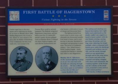
First Battle of Hagerstown
Vicious Fighting in the Streets
— Gettysburg Campaign —
The fighting lurched from street corner to street corner, and ultimately into dismounted assaults from house to house, yard to yard, doorway to doorway, churchyard to churchyard, and gravestone to gravestone. The arrival of Confederate infantry - Gen. Alfred Iverson's North Carolina brigade - finally compelled the Federals to abandon their efford to seize Hagerstown.
Monday, July 6: "Afternoon. At this moment fighting is going on in our very own town and the balls are whizzing through the streets. ... Oh God, of Heaven, have mercy upon us and deliver us from this terrible war." - Louise Kealhofer diary
"The cutting and slashing was beyond description; here right before and underneath us the deadly conflict was waged in a hand to hand combat, with the steel blades circling, waving, parrying, thrusting, and cutting, some reflecting the bright sunlight, others crimsoned with human gore; while the discharge of pistols and carbines was terrific, and the smoke through which we now gazed down through and on the scene below, the screams and yells of the wounded and dying, mingled with cheers and commands, the crashing together of the horses and firey flashes of small arms presented a scene such as words cannot portray."
-W.W. Jacobs, civilian eyewitness
Erected by Maryland Civil War Trails.
Topics and series. This historical marker is listed in this topic list: War, US Civil. In addition, it is included in the Maryland Civil War Trails series list. A significant historical date for this entry is July 6, 1739.
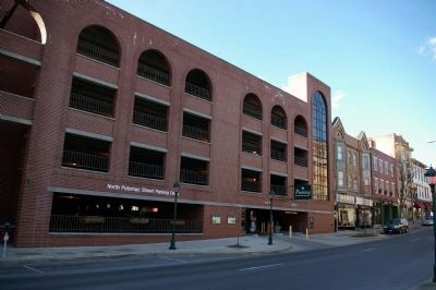
Location. 39° 38.563′ N, 77° 43.191′ W. Marker is in Hagerstown, Maryland, in Washington County. Marker is on North Potomac Street (Maryland Route 65), on the right when traveling south. Touch for map. Marker is in this post office area: Hagerstown MD 21740, United States of America. Touch for directions.
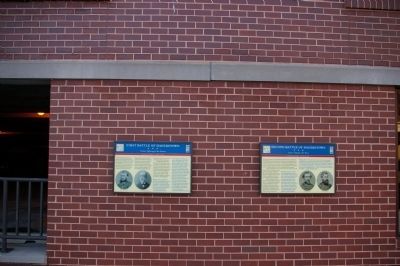
Other nearby markers. At least 8 other markers are within walking distance of this marker. Second Battle of Hagerstown (here, next to this marker); Treatment of the Wounded (a few steps from this marker); Hagerstown (within shouting distance of this marker); Gettysburg Campaign
(within shouting distance of this marker); A City Divided (within shouting distance of this marker); Ransom of Hagerstown (within shouting distance of this marker); Hagerstown Ransomed (within shouting distance of this marker); Hagerstown Commercial Core Historic District (within shouting distance of this marker). Touch for a list and map of all markers in Hagerstown.
Also see . . . Gettysburg - Invasion and Retreat. Visit Maryland entry detailing other sites on the Virginia-Maryland-Pennsylvania Gettysburg Campaign Civil War Trails system. (Submitted on January 2, 2021, by Larry Gertner of New York, New York.)
Credits. This page was last revised on January 3, 2023. It was originally submitted on March 24, 2008, by Christopher Busta-Peck of Shaker Heights, Ohio. This page has been viewed 4,173 times since then and 72 times this year. Photos: 1, 2, 3. submitted on March 24, 2008, by Christopher Busta-Peck of Shaker Heights, Ohio.


