Tiberias in Kinneret, Northern District, Israel — West Asia (the Levant in the Middle East)
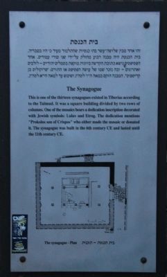
The Synagogue
Photographed by Dale K. Benington, March 7, 2013
1. The Synagogue Marker
Erected by The municipality of Tiberias, Tourism Department.
Topics and series. This historical marker is listed in these topic lists: Anthropology & Archaeology • Religion & Religious Structures • Settlements & Settlers. In addition, it is included in the Synagogues, and the The Tiberias Archeological Park series lists.
Location. 32° 47.146′ N, 35° 32.517′ E. Marker is in Tiberias, Northern District, in Kinneret. It can be reached from Ha-Banim Street (National Route 90) just north of HaGalil, on the right when traveling north. This historical marker is located on the south side of the downtown Tiberias business district, affixed to an ornate pole, that is inside a small archaeological park situated directly in front (to the west) of the Leonardo Plaza Hotel. Touch for map. Marker is at or near this postal address: Ha-Banim St 35, Tiberias, Northern District, Israel. Touch for directions.

Regionally, it is in Asia, specifically in West Asia, in the Middle East, in The Levant, on the Red Sea, in a coastal Mediterranean country, and in the Western World. Historically, it finds itself in what was once the Byzantine Empire, the Ottoman Empire, a British Mandate, and the Roman Empire.
Other nearby markers. At least 8 other markers are within walking distance of this marker: The Architecture of Tiberias (a few steps from this
this page online
Also see . . . Tiberias. This is a link to information provided by Wikipedia, the free encyclopedia. (Submitted on May 16, 2013, by Dale K. Benington of Toledo, Ohio.)
Photographed by Dale K. Benington, March 7, 2013
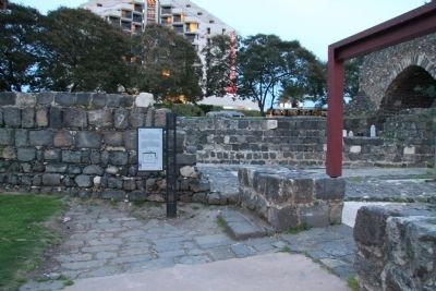
2. The Synagogue Marker
View of the historical marker, affixed to an ornate pole, in the middle of an archaeological park, with the Leonardo Plaza Hotel in the background.
Photographed by Dale K. Benington, March 7, 2013
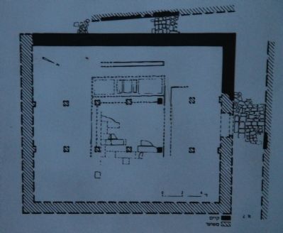
3. The Synagogue Marker
Close-up view of the illustration of the synagogue's floor plan, that was displayed on the historical marker.
Photographed by Dale K. Benington, March 7, 2013
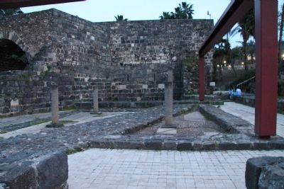
4. The Synagogue
View, looking south, of the ruins of the synagogue.
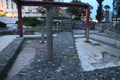
Photographed by Dale K. Benington, March 7, 2013
5. The Synagogue
View, looking north, of the ruins of the synagogue. Note mosaic floor tiles in lower left corner of picture.
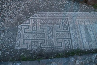
Photographed by Dale K. Benington, March 7, 2013
6. The Synagogue
View of the northern end of the mosaic floor tiles.
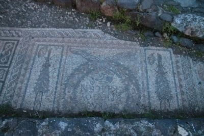
Photographed by Dale K. Benington, March 7, 2013
7. The Synagogue
View of the middle section of the mosaic floor tiles.
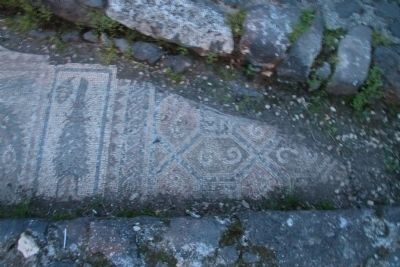
Photographed by Dale K. Benington, March 7, 2013
8. The Synagogue
View of the southern end of the mosaic floor tiles.
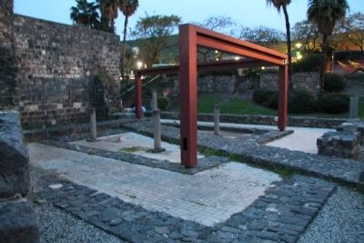
Photographed by Dale K. Benington, March 7, 2013
9. The Synagogue
View, looking southwest, of the ruins of the synagogue.
Credits. This page was last revised on June 16, 2016. It was originally submitted on May 15, 2013, by Dale K. Benington of Toledo, Ohio. This page has been viewed 589 times since then and 11 times this year. Photos: 1, 2, 3, 4, 5, 6, 7, 8, 9. submitted on May 15, 2013, by Dale K. Benington of Toledo, Ohio.
