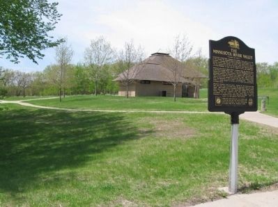
Near Le Sueur in Le Sueur County, Minnesota — The American Midwest (Upper Plains)
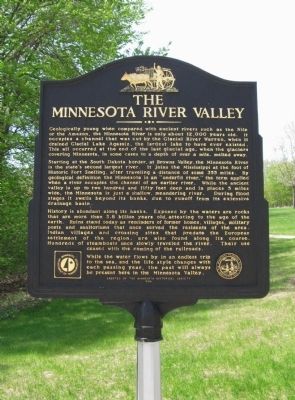
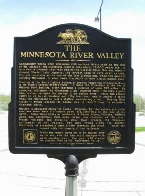
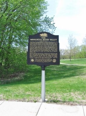
The Minnesota River Valley
Starting at the South Dakota border, at Browns Valley, the Minnesota River is the state's second largest river. It joins the Mississippi at the foot of Historic Fort Snelling, after traveling a distance of some 355 miles. By geological definition the Minnesota is an "underfit river," the term applied when a river occupies the channel of an earlier river. While the ancient valley is up to two hundred and fifty feet deep and in places 5 miles wide, the Minnesota is just a shallow, meandering river. During flood stages it swells beyond its banks, due to runoff from its extensive drainage basin.
History is abundant along its banks. Exposed by the waters are rocks that are more than 3.8 billion years old, attesting to the age of the earth. Ruins stand today as reminders of former homes, villages, military posts and sanitoriums that once served the residents of the area. Indian villages and crossing sites that predate the European settlement of the region, are also found along its course. Hundreds of steamboats once slowly traveled the river. Their use ceased with the coming of the railroads.
While the water flows by in an endless trip to the sea, and the life style changes with each passing year, the past will always be present here in the Minnesota Valley.
seal of The Minnesota Historical Society, Instituted 1849
Erected by the Minnesota Historical Society
1996
Erected 1996 by the Minnesota Historical Society.
Topics and series. This historical marker is listed in this topic list: Waterways & Vessels. In addition, it is included in the Minnesota Historical Society series list. A significant historical year for this entry is 1849.
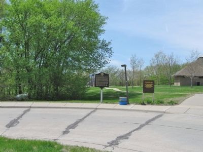
Location. 44° 29.301′ N, 93° 52.518′ W. Marker is near Le Sueur, Minnesota, in Le Sueur County. Marker can be reached from the intersection of U.S. 169 at milepost 80 and Doppy Lane, on the right when traveling north. Marker is at the Minnesota Valley Rest Area, 1 mile north of Le Sueur. This rest area serves both northbound and southbound traffic. Touch for map. Marker is in this post office area: Le Sueur MN 56058, United States of America. Touch for directions.
Other nearby markers. At least 8 other markers are within 4 miles of this marker, measured
as the crow flies. Le Sueur (approx. 1.7 miles away); The Jolly Green Giant (approx. 1.9 miles away); Dr. William W. Mayo House (approx. 2.7 miles away); Roster of the Le Sueur Tigers (approx. 2.7 miles away); 1923 Minnesota River Bridge (approx. 2.8 miles away); St. Jude's Episcopal Church Congregation (approx. 3.1 miles away); John Other Day (approx. 3.2 miles away); Joseph R. Brown Minnesota River Center (approx. 3.2 miles away). Touch for a list and map of all markers in Le Sueur.
Also see . . . Minnesota River. Wikipedia entry. (Submitted on May 18, 2013.)
Credits. This page was last revised on June 16, 2016. It was originally submitted on May 18, 2013, by Keith L of Wisconsin Rapids, Wisconsin. This page has been viewed 670 times since then and 35 times this year. Photos: 1, 2, 3, 4, 5. submitted on May 18, 2013, by Keith L of Wisconsin Rapids, Wisconsin.
