Statesville in Iredell County, North Carolina — The American South (South Atlantic)
Agricultural Extension Service
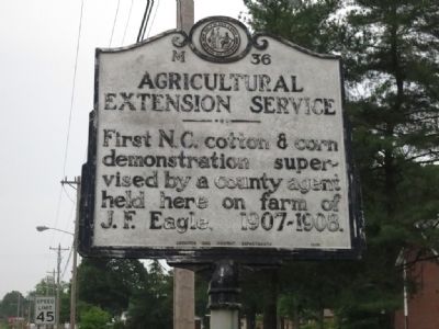
Photographed by Jamie Cox
1. Agricultural Extension Service Marker
Erected 1965 by Archive and Highway Departments. (Marker Number M-36.)
Topics and series. This historical marker is listed in this topic list: Agriculture. In addition, it is included in the North Carolina Division of Archives and History series list.
Location. 35° 45.773′ N, 80° 50.466′ W. Marker is in Statesville, North Carolina, in Iredell County. It is at the intersection of U.S. 70 and Keller Drive, on the right when traveling east on U.S. 70. Touch for map. Marker is in this post office area: Statesville NC 28677, United States of America. Touch for directions.

Regionally, this marker is in the Piedmont. It is also in the American South and specifically in the Upper South. Globally, it is in North America, the Western Hemisphere, the Western World, and the Anglosphere. Historically, it finds itself in what was once the territory of the Mississippian Culture, one of the original Thirteen Colonies, one of the Confederate States of America,
this page online
Other nearby markers. At least 8 other markers are within 3 miles of this marker, measured as the crow flies: Old Hickory Highway (approx. 2.1 miles away); St. Philip the Apostle Catholic Church (approx. 2.8 miles away); Col. Silas Alexander Sharpe (approx. 2.9 miles away); Stoneman's Raid (approx. 2.9 miles away); Images at the Crossroads by Ben Long (approx. 2.9 miles away); Fort Dobbs (approx. 2.9 miles away); N.C. Association for the Blind (approx. 2.9 miles away); Vance Hotel (approx. 2.9 miles away). Touch for a list and map of all markers in Statesville.
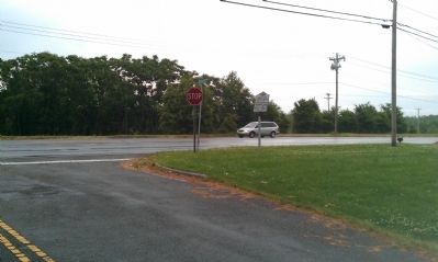
Photographed by Jamie Cox
2. Agricultural Extension Service Marker Overview
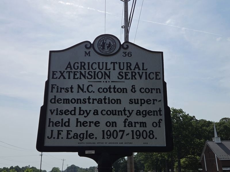
Photographed by Mark Parker, April 25, 2026
3. Refurbished Agricultural Extension Service Marker
Marker replaced by the North Carolina Office of Archives and History in 2015.
Credits. This page was last revised on May 2, 2026. It was originally submitted on May 19, 2013, by Jamie Cox of Melbourne, Florida. This page has been viewed 499 times since then and 45 times this year. Photos: 1, 2. submitted on May 19, 2013, by Jamie Cox of Melbourne, Florida. 3. submitted on April 25, 2026, by Mark Parker of Hickory, North Carolina. • Bill Pfingsten was the editor who published this page.
