Marker Logo HMdb.org THE HISTORICAL
MARKER DATABASE
“Bite-Size Bits of Local, National, and Global History”
Fort Valley in Shenandoah County, Virginia — The American South (Mid-Atlantic)
 

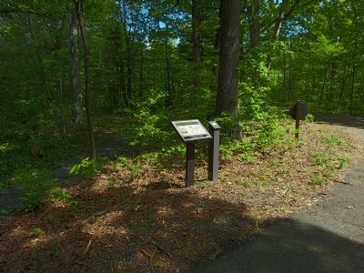
Camp Barracks


Camp Barracks Marker image. Click for full size.
Photographed By Allen C. Browne, May 12, 2013
1. Camp Barracks Marker
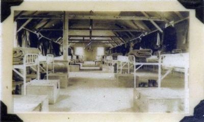
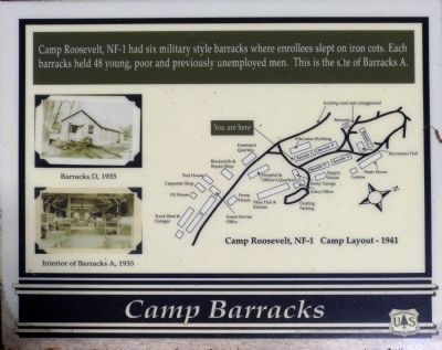
Inscription. Camp Roosevelt, NF-1 had six military style barracks where enrollees slept on iron cots. Each barracks held 48 young, poor and previously unemployed men. This is the site of Barracks A.
 
Erected by US Forest Service.
 
Topics. This historical marker is listed in these topic lists: Charity & Public WorkHorticulture & ForestryMan-Made Features.
 
Location. 38° 43.81′ N, 78° 31.052′ W. Marker is in Fort Valley, Virginia, in Shenandoah County. Marker can be reached from Camp Roosevelt Road (Virginia Route 675) south of Chrisman Hollow Road (Virginia Route 211), on the left when traveling south. Located in Camp Roosevelt Recreation Area in the George Washington National Forest. Touch for map. Marker is in this post office area: Fort Valley VA 22652, United States of America. Touch for directions.
 
Other nearby markers. At least 8 other markers are within 5 miles of this marker, measured as the crow flies. Robert Fechner Memorial Forest (a few steps from this marker); Birthplace of the CCC (within shouting distance of this marker); Mess Hall (within shouting distance of this marker); Blacksmith Shop (about 400 feet away, measured in a direct line); Elk Run Meeting House (approx. 4.8 miles away); Corn Crib (approx.
Paid Advertisement
Click on the ad for more information.
Please report objectionable advertising to the Editor.
Click or scan to see
this page online
4.8 miles away); Burner Barn (approx. 4.8 miles away); Bell House (approx. 4.8 miles away). Touch for a list and map of all markers in Fort Valley.
 
Camp Barracks Marker image. Click for full size.
Photographed By Allen C. Browne, May 12, 2013
2. Camp Barracks Marker
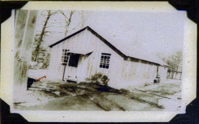
Barracks D, 1935 image. Click for full size.
Photographed By Allen C. Browne, May 12, 2013
3. Barracks D, 1935
Close-up of photo on marker
Interior of Barracks A, 1935 image. Click for full size.
Photographed By Allen C. Browne, May 12, 2013
4. Interior of Barracks A, 1935
Close-up of photo on marker
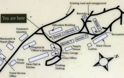
Camp Roosevelt, NF-1 Camp Layout - 1941 image. Click for full size.
Photographed By Allen C. Browne, May 12, 2013
5. Camp Roosevelt, NF-1 Camp Layout - 1941
Close-up of map on marker
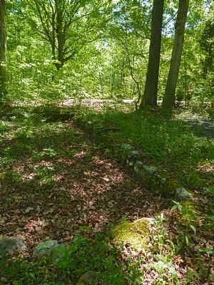
Foundation of Barracks A image. Click for full size.
Photographed By Allen C. Browne, May 12, 2013
6. Foundation of Barracks A
"Barracks" Sign image. Click for full size.
Photographed By Allen C. Browne, May 12, 2013
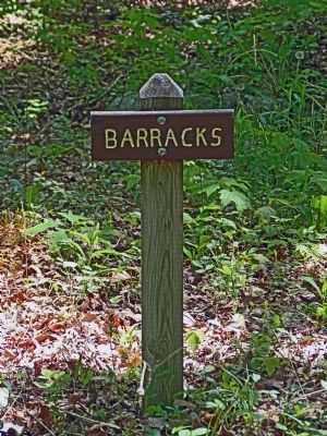
7. "Barracks" Sign
Camp Roosevelt Recreation Area<br>George Washington National Forest image. Click for full size.
Photographed By Allen C. Browne, May 12, 2013
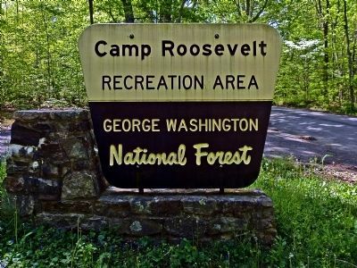
8. Camp Roosevelt Recreation Area
George Washington National Forest
 
 
Credits. This page was last revised on June 16, 2016. It was originally submitted on May 23, 2013, by Allen C. Browne of Silver Spring, Maryland. This page has been viewed 436 times since then and 15 times this year. Photos:   1, 2, 3, 4, 5, 6, 7, 8. submitted on May 23, 2013, by Allen C. Browne of Silver Spring, Maryland. • Bernard Fisher was the editor who published this page.
Share this page.  
Share on Tumblr
m=65483

CeraNet Cloud Computing sponsors the Historical Marker Database.
This website earns income from purchases you make after using our links to Amazon.com. We appreciate your support.
Paid Advertisement
Apr. 23, 2024