Near Peters Creek in Patrick County, Virginia — The American South (Mid-Atlantic)
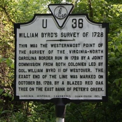
William Byrdís Survey of 1728
Erected 1971 by Virginia Historic Landmarks Commission. (Marker Number U-36.)
Topics and series. This historical marker is listed in these topic lists: Colonial Era • Political Subdivisions. In addition, it is included in the Virginia Department of Historic Resources (DHR) series list. A significant historical month for this entry is October 1798.
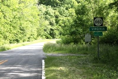
Location. 36° 32.659′ N, 80° 17.709′ W. Marker is near Peters Creek, Virginia, in Patrick County. Marker is at the intersection of Five Forks Road (County Route 660) and the North Carolina state line, on the left when traveling south on Five Forks Road. Five Forks Road continues into North Carolina as Moir Rogers Road. The place name on the Virginia side of the line is Five Forks. On the North Carolina side is Aarons Corner. Touch for map. Marker is in this post office area: Stuart VA 24171, United States of America. Touch for directions.
Other nearby markers. At least 8 other markers are within 11 miles of this marker, measured as the crow flies. Stuart (approx. 6.9 miles away); Reynolds Homestead (approx. 8Ĺ miles away); Lewis David von Schweinitz (approx. 9Ĺ miles away in North Carolina); Patrick County Virginia / North Carolina (approx. 10.3 miles away); In Memory of Lt. John Martin (approx. 10.4 miles away in North Carolina); Summertime and Life Goes On (approx. 10.4 miles away in North Carolina); Hanging Rock's High Flyers (approx. 10.4 miles away in North Carolina); Mountains Away From The Mountains (approx. 10Ĺ miles away in North Carolina).
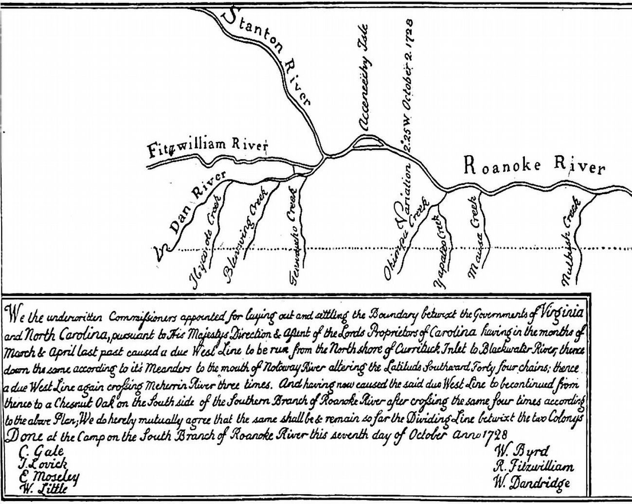
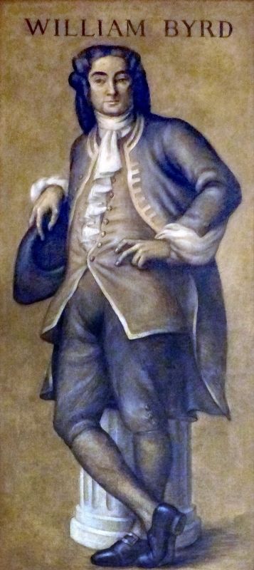
Also see . . . Betwixt Virginia and North Carolina. “In 1728, Colonel William Byrd of Westover on the James River established the Virginia-North Carolina border along with 19 other men. ĎThere was a well-defined cleavage among the Virginia commisioners; Byrd, William Dandridge, and surveyor Mayo composing one faction, Fitz-William and Irvine the other. Richard (Firebrand) Fitz-William objected to the employment of as many men for the expedition as Byrd desired ...í After concilliation ĎThe North Carolina commissioners, in recognition of his sympathy with their contentions, named on their map of the survey that tributary of the Dan now known as the Banister, Fitz-William River, while the Virginia
commissioners, strange to say, left no tracing of the stream on their map, which was prepared by Surveyor Mayoí.” (Submitted on May 27, 2013.)
Credits. This page was last revised on September 26, 2016. It was originally submitted on May 27, 2013, by J. J. Prats of Powell, Ohio. This page has been viewed 992 times since then and 95 times this year. Photos: 1, 2. submitted on May 27, 2013, by J. J. Prats of Powell, Ohio. 3, 4. submitted on September 23, 2016, by Allen C. Browne of Silver Spring, Maryland.


