Meade in Meade County, Kansas — The American Midwest (Upper Plains)
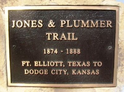
Jones & Plummer Trail
1874 - 1888
Photographed by William Fischer, Jr., November 10, 2012
1. Jones & Plummer Trail Marker
Dodge City, Kansas
Topics. This historical marker is listed in this topic list: Roads & Vehicles.
Location. 37° 17.117′ N, 100° 19.617′ W. Marker is in Meade, Kansas, in Meade County. It is at the intersection of N Road (U.S. 54/160) and 19th Road, on the right when traveling east on N Road. Marker is in Meade City Park. Touch for map. Marker is in this post office area: Meade KS 67864, United States of America. Touch for directions.

Regionally, this marker is in the American Midwest, in the Corn Belt, on the prairies, on the Great Plains, on the Southern Plains, on the High Plains, and on the Santa Fe Trail Corridor. Globally, it is in North America, the Western Hemisphere, the Western World, and the Anglosphere. Historically, it finds itself in what was once New Spain, the Comanchería, the Dust Bowl, the Louisiana Purchase, and the Republic of Texas.
Other nearby markers. At least 8 other markers are within 3 miles of this marker, measured as the crow flies: Hoodoo Brown's Road Ranch (here, next to this marker); Graceland Cemetery
this page online
Also see . . .
1. The Jones and Plummer Trail As It Crossed Meade County, Kansas. Kansas Heritage Group entry (Submitted on May 28, 2013, by William Fischer, Jr. of Reynoldsburg, Ohio.)
2. Jones and Plummer Trail. Texas State Historical Association entry (Submitted on May 28, 2013, by William Fischer, Jr. of Reynoldsburg, Ohio.)
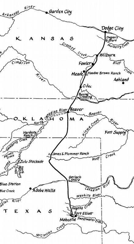
via Old Meade County, unknown
2. Jones & Plummer Trail
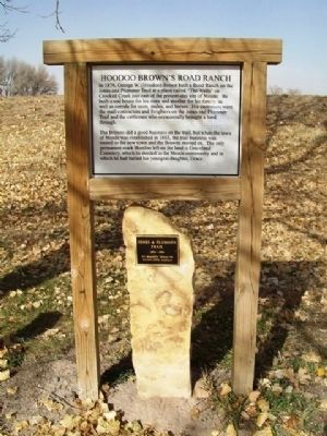
Photographed by William Fischer, Jr., November 10, 2012
3. Jones & Plummer Trail Marker
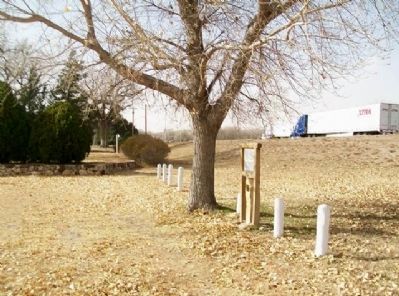
Photographed by William Fischer, Jr., November 10, 2012
4. Jones & Plummer Trail Marker
Credits. This page was last revised on December 16, 2024. It was originally submitted on May 28, 2013, by William Fischer, Jr. of Reynoldsburg, Ohio. This page has been viewed 832 times since then and 52 times this year. Photos: 1. submitted on May 28, 2013, by William Fischer, Jr. of Reynoldsburg, Ohio. 2. submitted on March 2, 2021, by Larry Gertner of New York, New York. 3, 4. submitted on May 28, 2013, by William Fischer, Jr. of Reynoldsburg, Ohio.
