St. Peter in Nicollet County, Minnesota — The American Midwest (Upper Plains)
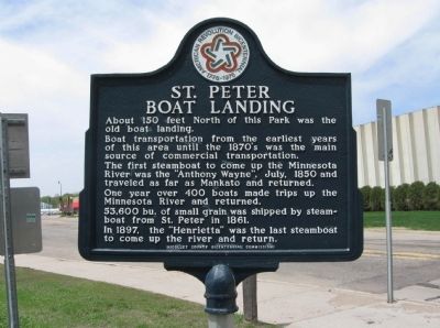
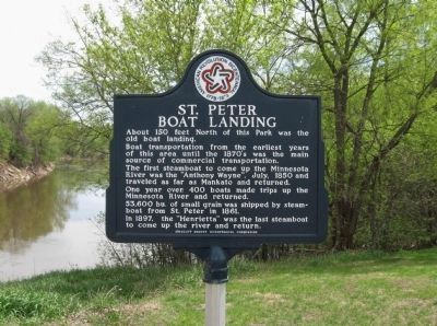
St. Peter Boat Landing
Boat transportation from the earliest years of this area until the 1870's was the main source of commercial transportation.
The first steamboat to come up the Minnesota River was the "Anthony Wayne", July, 1850 and traveled as far as Mankato and returned.
One year over 400 boats made trips up the Minnesota River and returned.
53,600 bu. of small grain was shipped by steamboat from St. Peter in 1861.
In 1897, the "Henrietta" was the last steamboat to come up the river and return.
Erected 1976 by Nicollet County Bicentennial Commission.
Topics and series. This historical marker is listed in this topic list: Waterways & Vessels. In addition, it is included in the The Spirit of ’76, America’s Bicentennial Celebration series list. A significant historical year for this entry is 1850.
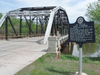
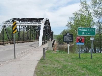
Location. 44° 19.498′ N, 93° 57.227′ W. Marker is in St. Peter, Minnesota, in Nicollet County. Marker is on Broadway Avenue (State Highway 99) east of Front Street (State Highway 22), on the right when traveling east. Marker is by the Broadway Bridge at Levee Park. Touch for map. Marker is at or near this postal address: 101 South Front Street, Saint Peter MN 56082, United States of America. Touch for directions.
Other nearby markers. At least 8 other markers are within 2 miles of this marker, measured as the crow flies. The Bornemann House (about 600 feet away, measured in a direct line); Nicollet County Veterans Memorial (approx. 0.3 miles away); The Eugene St. Julien Cox House (approx. 0.6 miles away); Traverse des Sioux (approx. 1.7 miles away); A Minority in Their Homeland (approx. 1.7 miles away); Welcome to Traverse des Sioux (approx. 1.7 miles away); "Only a Memory Now" (approx. 1.7 miles away); Land-Seas (approx. 1.8 miles away). Touch for a list and map of all markers in St. Peter.
Also see . . .
1. City of Saint Peter, Minnesota. (Submitted on June 8, 2013.)
2. St. Peter, Minnesota. Wikipedia entry. (Submitted on June 8, 2013.)
3. Minnesota River Bridge. (Submitted on June 8, 2013.)
Credits. This page was last revised on June 16, 2016. It was originally submitted on June 8, 2013, by Keith L of Wisconsin Rapids, Wisconsin. This page has been viewed 699 times since then and 36 times this year. Photos: 1, 2, 3, 4, 5. submitted on June 8, 2013, by Keith L of Wisconsin Rapids, Wisconsin.


