Belle Plaine in Scott County, Minnesota — The American Midwest (Upper Plains)
The Episcopal Church of the Transfiguration
Photographed by K. Linzmeier, May 16, 2013
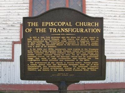
1. The Episcopal Church of the Transfiguration Marker
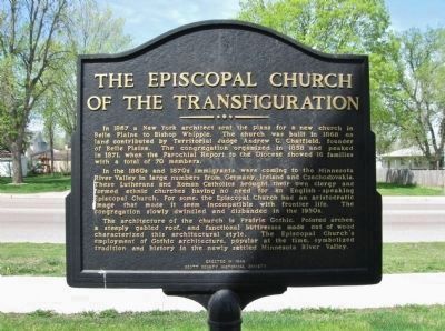
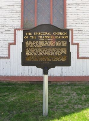
In 1867 a New York architect sent the plans for a new church in Belle Plaine to Bishop Whipple. The church was built in 1868 on land contributed by Territorial Judge Andrew G. Chatfield, founder of Belle Plaine. The congregation organized in 1858 and peaked in 1871, when the Parochial Report to the Diocese showed 16 families with a total of 70 members.
In the 1860s and 1870s immigrants were coming to the Minnesota River Valley in large numbers from Germany, Ireland and Czechoslovakia. These Lutherans and Roman Catholics brought their own clergy and formed ethnic churches having no need for an English - speaking Episcopal Church. For some, the Episcopal Church had an aristocratic image that made it seem incompatible with frontier life. The congregation slowly dwindled and disbanded in the 1950s.
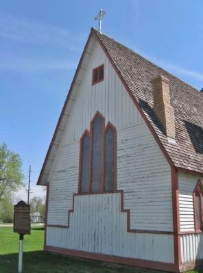
The architecture of the church is Prairie Gothic. Pointed arches, a steeply gabled roof, and functional buttresses made out of wood characterized this architectural style. The Episcopal Church's employment of Gothic architecture, popular at the time, symbolized tradition and history in the newly settled Minnesota River Valley.
Scott County Historical Society
Erected 1999
this page online
Topics. This historical marker is listed in these topic lists: Architecture • Immigration • Religion & Religious Structures • Settlements & Settlers. A significant historical year for this entry is 1867.
Location. 44° 37.473′ N, 93° 45.815′ W. Marker is in Belle Plaine, Minnesota, in Scott County. It is on North Walnut Street (State Highway 25) north of East Church Street, on the right when traveling north. Marker is at Founders Memorial Park. Touch for map. Marker is at or near this postal address: 201 North Walnut Street, Belle Plaine MN 56011, United States of America. Touch for directions.

Regionally, this marker is in the Minnesota River Valley and in the Twin Cities Metropolitan Area. It is also in the American Midwest and in the Corn Belt. Globally, it is in North America, the Western Hemisphere, the Western World, and the Anglosphere. Historically, it finds itself in what was once Rupert’s Land, the territory of the Mississippian Culture, and the Louisiana Purchase.
Other nearby markers. At least 8 other markers are within 10 miles of this marker, measured as
Photographed by K. Linzmeier, May 16, 2013
2. The Episcopal Church of the Transfiguration Marker
Also see . . . Episcopal Church of the Transfiguration (Belle Plaine, Minnesota). Wikipedia entry. (Submitted on June 11, 2013.)
Photographed by K. Linzmeier, May 16, 2013
3. The Episcopal Church of the Transfiguration Marker

Photographed by Luci j Baker Johnson, June 11, 2023
4. The Episcopal Church of the Transfiguration Marker
Photographed by K. Linzmeier, May 16, 2013
5. Marker and Church
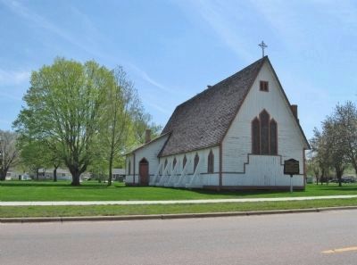
Photographed by K. Linzmeier, May 16, 2013
6. Marker and Church
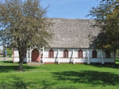
Photographed by K. Linzmeier, May 16, 2013
7. The Episcopal Church of the Transfiguration
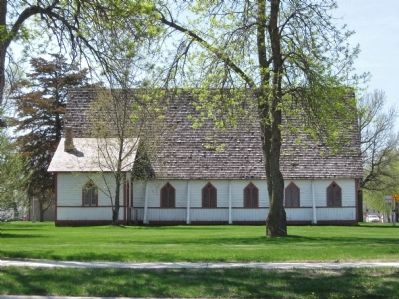
Photographed by K. Linzmeier, May 16, 2013
8. The Episcopal Church of the Transfiguration
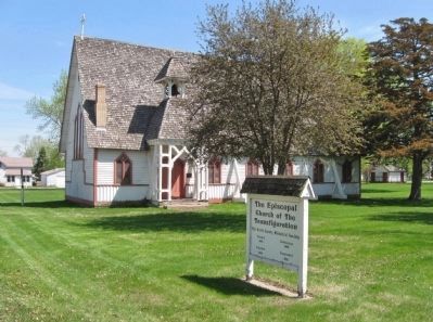
Photographed by K. Linzmeier, May 16, 2013
9. The Episcopal Church of the Transfiguration
Photographed by K. Linzmeier, May 16, 2013
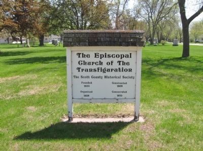
10. The Episcopal Church of the Transfiguration Sign
The Scott County Historical Society · Founded 1854 · Organized 1858 · Constructed 1868 · Consecrated 1870
Photographed by K. Linzmeier, May 16, 2013
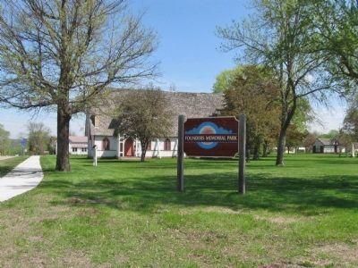
11. Founders Memorial Park
Credits. This page was last revised on May 15, 2025. It was originally submitted on June 11, 2013, by Keith L of Wisconsin Rapids, Wisconsin. This page has been viewed 1,127 times since then and 49 times this year. Photos: 1, 2, 3. submitted on June 11, 2013, by Keith L of Wisconsin Rapids, Wisconsin. 4. submitted on May 14, 2025, by Luci j Baker Johnson of Seattle, Washington. 5. submitted on June 11, 2013, by Keith L of Wisconsin Rapids, Wisconsin. 6. submitted on June 12, 2013, by Keith L of Wisconsin Rapids, Wisconsin. 7, 8, 9, 10, 11. submitted on June 11, 2013, by Keith L of Wisconsin Rapids, Wisconsin.
