Calpine in Sierra County, California — The American West (Pacific Coastal)
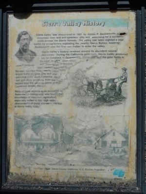
Sierra Valley History
Photographed by Barry Swackhamer, June 3, 2013
1. Sierra Valley History Marker
Captions: (top left) James P. Beckwourth; (bottom) (?) and Stage Office, Sierra County; G.Q. Buxton, Proprietor
Sierra Valley’s history revolved around its abundant natural resources. During the California gold rush Sierra Valley produced hay for livestock in Downieville, Sierra City and the gold fields to the west. In 1859, when silver was discovered in Nevada, new markets opened in the east. Lumber form nearby mountains helped build Virginia City and shore up extensive mine shaft networks. Hay, beef and dairy products from the valley helped feed the silver seekers in the Comstock Mining District.
Many of these exports were produced by Swiss-Italian immigrants who found their knowledge of mountain agriculture especially suited to this high valley. Descendants of these pioneers still live in Sierra Valley today.
Topics. This historical marker is listed in these topic lists: Agriculture • Exploration •
this page online
Location. Marker is missing. It was located near 39° 38.098′ N, 120° 27.331′ W. Marker was in Calpine, California, in Sierra County. It was on Golden Chain Highway (California Route 49 at milepost 45.7), on the right when traveling east. Touch for map. Marker was in this post office area: Loyalton CA 96118, United States of America. Touch for directions.

Regionally, this marker was in California’s Sierra Nevada. It was also in the American Mountain West. Globally, it was in North America, on the Ring of Fire, in the Pacific Rim, in the Western Hemisphere, in the Western World, and in the Anglosphere. Historically, it found itself in what was once New Spain and also Mexico’s Alta California.
Other nearby markers. At least 8 other markers are within 12 miles of this location, measured as the crow flies: Crossing the Summit - Weather or Not (approx. 2.2 miles away); Site of Howard Ranch and Inn (approx. 7.3 miles away); Memorial (approx. 9.8 miles away); Webber Lake Hotel (approx. 10.3 miles
Photographed by Alvis Hendley, October 7, 2016
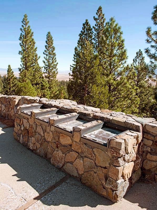
2. Sierra Valley Markers
All four markers were missing in October 2016.
Another marker is no longer nearby. Food for the Mines (was approx. 2.2 miles away but has been replaced with another marker now near it).
More about this marker. This marker is located at the Sierra Valley Vista Point. There are three other plaques at the vista point; Sierra Valley Geology, Sierra Valley Environment and Sierra Valley Wildlife. Some are too badly damage to be legible.
Photographed by Barry Swackhamer, June 3, 2013
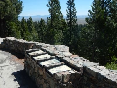
3. Sierra Valley History Marker
This marker is the far left marker.
Credits. This page was last revised on November 13, 2016. It was originally submitted on June 15, 2013, by Barry Swackhamer of Brentwood, California. This page has been viewed 878 times since then and 39 times this year. Photos: 1. submitted on June 15, 2013, by Barry Swackhamer of Brentwood, California. 2. submitted on November 13, 2016, by Alvis Hendley of San Francisco, California. 3. submitted on June 15, 2013, by Barry Swackhamer of Brentwood, California. • Syd Whittle was the editor who published this page.
