Near Sharpsburg in Washington County, Maryland — The American Northeast (Mid-Atlantic)
Wise (Virginia) Artillery
Inscription.
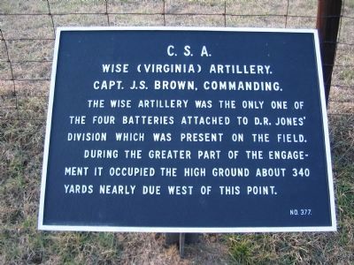
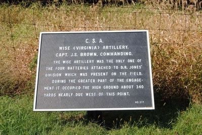
Wise (Virginia) Artillery.
Capt. J.S. Brown, Commanding.
The Wise Artillery was the only one of the four batteries attached to D.R. Jones' Division which was present on the field.
During the greater part of the engagement it occupied the high ground about 340 yards nearly due west of this point.
Erected by Antietam Battlefield Board. (Marker Number 377.)
Topics and series. This historical marker is listed in this topic list: War, US Civil. In addition, it is included in the Antietam Campaign War Department Markers series list. A significant historical date for this entry is September 17, 1862.
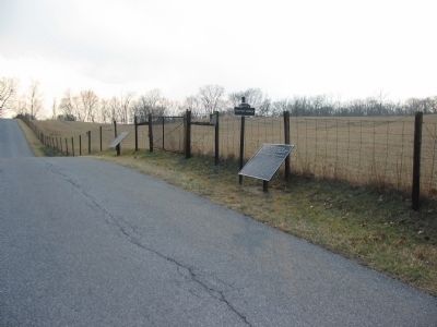
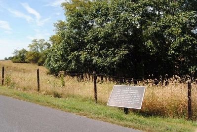
Location. 39° 27.128′ N, 77° 44.383′ W. Marker is near Sharpsburg, Maryland, in Washington County. Marker is on Branch Avenue, on the right when traveling south. Touch for map. Marker is in this post office area: Sharpsburg MD 21782, United States of America. Touch for directions.
Other nearby markers. At least 10 other markers are within walking distance of this marker. Longstreet's Command (a few steps from this marker); Kanawha Division, Ninth Corps (within shouting distance of this marker); Ninth Army Corps (about 300 feet away, measured in a direct line); a different marker also named Ninth Army Corps (about 300 feet away); 51st Pennsylvania Volunteer Infantry (about 400 feet away); 28th Ohio Volunteer Infantry (about 400 feet away); Durell’s Independent Battery (about 400 feet away); a different marker also named Longstreet's Command (about 400 feet away); D.R. Jones' Division, Longstreet's Command (about 400 feet away); a different marker also named D.R. Jones' Division, Longstreet's Command (about 400 feet away). Touch for a list and map of all markers in Sharpsburg.
Also see . . .
1. Antietam Battlefield. National Park Service site. (Submitted on March 25, 2008, by Craig Swain of Leesburg, Virginia.)
2. Wise (Virginia) Artillery. The battery served four guns during the fighting. Shortly after the battle, the battery was disbanded. (Submitted on March 25, 2008, by Craig Swain of Leesburg, Virginia.)
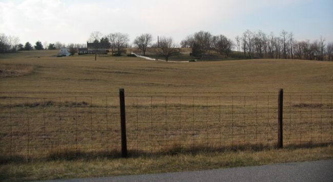
Photographed By Craig Swain
5. Kemper's Position
Looking west from near the tablet location. Kemper's Brigade, minus the 7th and 24th Regiments posted further south, occupied the high ground across the field. The Wise Artillery fell back to a position in front of the modern house when the IX Corps advanced. A point of reference in this photo is the 9th New York Volunteers Monument spire on the center horizon.
Credits. This page was last revised on December 7, 2017. It was originally submitted on March 25, 2008, by Craig Swain of Leesburg, Virginia. This page has been viewed 869 times since then and 8 times this year. Photos: 1. submitted on March 25, 2008, by Craig Swain of Leesburg, Virginia. 2. submitted on October 11, 2015, by Brian Scott of Anderson, South Carolina. 3. submitted on March 25, 2008, by Craig Swain of Leesburg, Virginia. 4. submitted on October 11, 2015, by Brian Scott of Anderson, South Carolina. 5. submitted on March 25, 2008, by Craig Swain of Leesburg, Virginia.
