Lewiston in Niagara County, New York — The American Northeast (Mid-Atlantic)
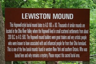
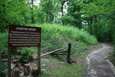
Lewiston Mound
Topics. This historical marker is listed in these topic lists: Cemeteries & Burial Sites • Native Americans. A significant historical year for this entry is 160 CE.
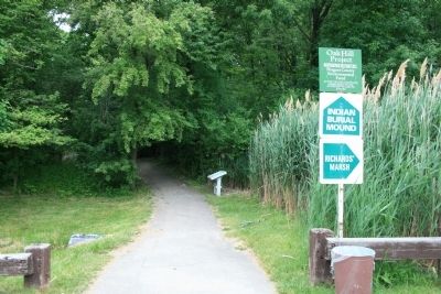
Location. 43° 9.991′ N, 79° 2.67′ W. Marker is in Lewiston, New York, in Niagara County. Marker can be reached from South 4th Street south of Tuscarora Street. This historical marker is located on the grounds of the Earl W. Brydges Artpark. To get to this historic marker one must take South 4th Street south all the way to where the road ends, at the entrance to the Earl W. Brydges Artpark. The historic marker is on the grounds of the artpark, in a wooded section of land just east of, and in between, the first and second large parking areas. Touch for map. Marker is in this post office area: Lewiston NY 14092, United States of America. Touch for directions.
Other nearby markers. At least 8 other markers are within walking distance of this marker. A different marker also named The Lewiston Mound (a few steps from this marker); Fort Joncaire (within shouting distance of this marker); The Magazin Royale (within shouting distance of this marker); The Cradles (within shouting distance of this marker); Oak Hill and Scovell Knoll (about 400 feet away, measured in a direct line); The Lower Landing (about 400 feet away); Welcome to Earl W. Brydges Artpark State Park (about 500 feet away); Lower Landing Archeological District (about 500 feet away). Touch for a list and map of all markers in Lewiston.
Also see . . . Lewiston Mound. This is a link to information provided by Wikipedia, the free encyclopedia. (Submitted on June 27, 2013, by Dale K. Benington of Toledo, Ohio.)
Credits. This page was last revised on September 2, 2020. It was originally submitted on June 27, 2013, by Dale K. Benington of Toledo, Ohio. This page has been viewed 1,184 times since then and 58 times this year. Last updated on August 29, 2020, by Bradley Owen of Morgantown, West Virginia. Photos: 1, 2, 3. submitted on June 27, 2013, by Dale K. Benington of Toledo, Ohio. • Michael Herrick was the editor who published this page.


