Stockton in Baldwin County, Alabama — The American South (East South Central)
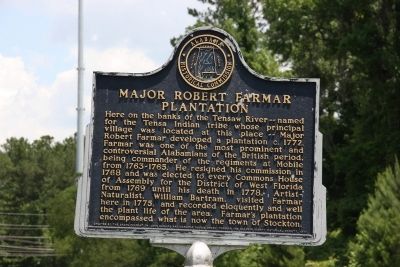
Major Robert Farmar Plantation
Photographed by TRCP Alliance, June 22, 2013
1. Major Robert Farmar Plantation Marker
Erected 1977 by The Snook Foundation (John McClure and Marjorie Younge Snook) through the Alabama Historical Commission.
Topics and series. This historical marker is listed in these topic lists: Agriculture • Arts, Letters, Music • Colonial Era • War, US Revolutionary. In addition, it is included in the Alabama Historical Commission, and the William Bartram Trails series lists. A significant historical year for this entry is 1772.
Location. 30° 58.981′ N, 87° 52.062′ W.
this page online

Regionally, this marker is on the Gulf Coast and in the Mobile Bay area. It is also in the American South, specifically in the Deep South, and on the Gulf Coast. Globally, it is in North America, a Gulf of Mexico state, the Western Hemisphere, the Western World, and the Anglosphere. Historically, it finds itself in what was once New Spain, the Viceroyalty of New France, the territory of the Mississippian Culture, one of the Confederate States of America, and the Antebellum South.
Other nearby markers. At least 8 other markers are within walking distance of this marker: Public Education in Baldwin County / Little Red Schoolhouse Historic Site (approx. 0.8 miles away); Baldwin County Korean War Monument (approx. 0.8 miles away); Baldwin County Vietnam War Memorial (approx. 0.8 miles away); First Creek War (approx. 0.8 miles away); Baldwin County World War II Memorial
Photographed by TRCP Alliance, June 22, 2013
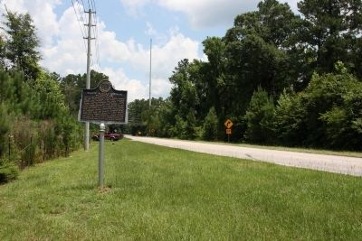
2. Major Robert Farmar Plantation Marker (North)
Additional commentary.
1. Date of William Bartram’s Visit
This marker and the Historic Stockton/Old Schoolyard Park marker (approximately 2.2 miles away) both mention William Bartram's visit with Major Robert Farmar but claim different years for his visit. This discrepancy is evidence that information on the two markers is drawn from different sources.
The year 1778, appearing on the Historic Stockton/Old Schoolyard Park marker, is found in William Bartram’s Travels Through North & South Carolina, Georgia, East & West Florida on page 404 where Bartram describes his activities in the Mobile area. Without closer scrutiny, Bartram's Travels, first published in 1791, might seem to be a credible source. However, examination of the whole volume reveals inconsistencies in his timeline. The chronology of Bartram’s journey as documented in Travels is obviously flawed.
A modern resource
Photographed by TRCP Alliance, June 22, 2013
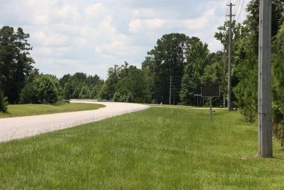
3. Major Robert Farmar Plantation Marker (South)
— Submitted August 9, 2017, by Harry Gatzke of Huntsville, Alabama.
Photographed by TRCP Alliance, June 22, 2013
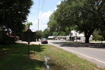
4. Town of Stockton, Alabama
Downtown Stockton is located about 1 mile north of the listed marker.
Photographed by TRCP Alliance, June 22, 2013
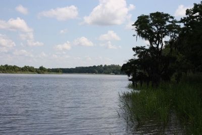
5. Tensaw River
Credits. This page was last revised on October 31, 2019. It was originally submitted on June 29, 2013, by Timothy Carr of Birmingham, Alabama. This page has been viewed 2,752 times since then and 113 times this year. Photos: 1, 2, 3, 4, 5. submitted on June 29, 2013, by Timothy Carr of Birmingham, Alabama. • Bill Pfingsten was the editor who published this page.
