Center Groton in New London County, Connecticut — The American Northeast (New England)
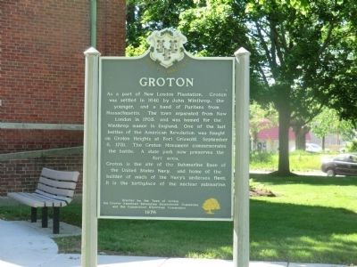
Groton
Erected 1976 by Town of Groton, the Groton American Revolution Bicentennial Committee, and the Connecticut Historical Commission.
Topics. This historical marker is listed in these topic lists: Colonial Era • War, US Revolutionary. A significant historical date for this entry is September 6, 1781.
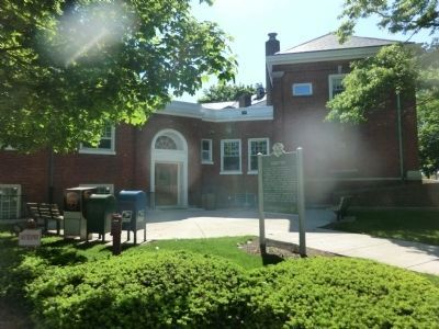
Location. 41° 20.754′ N, 72° 2.016′ W. Marker is in Groton, Connecticut, in New London County. It is in Center Groton. Marker is on Fort Hill Road. The marker is located on the grounds of the Groton Town Hall. Touch for map. Marker is at or near this postal address: 45 Fort Hill Road, Groton CT 06340, United States of America. Touch for directions.
Other nearby markers. At least 8 other markers are within 3 miles of this marker, measured as the crow flies. Jabez Smith House (approx. 0.6 miles away); Avery Memorial (approx. one mile away); Civil War Memorial (approx. 2.4 miles away); Death of Major William Montgomery (approx. 2½ miles away); Covered Way (approx. 2½ miles away); Groton Battle Monument (approx. 2½ miles away); Col. William Ledyard (approx. 2½ miles away); The Battle of Groton Heights (approx. 2½ miles away). Touch for a list and map of all markers in Groton.
Credits. This page was last revised on February 10, 2023. It was originally submitted on July 2, 2013, by Don Morfe of Baltimore, Maryland. This page has been viewed 563 times since then and 31 times this year. Photos: 1, 2. submitted on July 2, 2013, by Don Morfe of Baltimore, Maryland. • Bill Pfingsten was the editor who published this page.

