Union in Union County, New Jersey — The American Northeast (Mid-Atlantic)
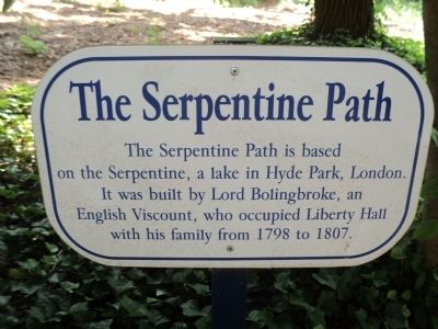
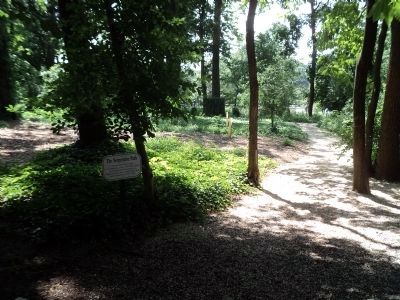
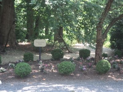
The Serpentine Path
Topics. This historical marker is listed in this topic list: Roads & Vehicles. A significant historical year for this entry is 1798.
Location. 40° 40.73′ N, 74° 13.788′ W. Marker is in Union, New Jersey, in Union County. Marker can be reached from Morris Avenue, on the right when traveling west. Marker is located on the grounds of the Liberty Hall Museum, near the carriage house. Touch for map. Marker is at or near this postal address: 1003 Morris Avenue, Union NJ 07083, United States of America. Touch for directions.
Other nearby markers. At least 8 other markers are within walking distance of this marker. Carriage House (within shouting distance of this marker); Steam Tractor (within shouting distance of this marker); Wagon Shed (about 300 feet away, measured in a direct line); Horse Chestnut Tree (about 300 feet away); Liberty Hall (about 300 feet away); a different marker also named Liberty Hall (about 300 feet away); The Blue House (about 400 feet away); Connecticut Farms (about 400 feet away). Touch for a list and map of all markers in Union.
Also see . . . History of Liberty Hall. Liberty Hall Museum website. (Submitted on July 10, 2013, by Bill Coughlin of Woodland Park, New Jersey.)
Credits. This page was last revised on December 31, 2020. It was originally submitted on July 10, 2013, by Bill Coughlin of Woodland Park, New Jersey. This page has been viewed 403 times since then and 16 times this year. Photos: 1, 2, 3, 4. submitted on July 10, 2013, by Bill Coughlin of Woodland Park, New Jersey.


